
Country Zimbabwe Capital Gwanda | Area 54,172 km² | |
 | ||
Colleges and Universities Joshua Mqabuko Nkomo Polytechnic, Solusi University Points of interest Matobo National Park, Grave of Cecil John Rhodes, Omadu | ||
Matabeleland South is a province of Zimbabwe. It has an area of 54,172 km² and a population of approximately 683,893 (2012). Gwanda is the capital of the province.
Contents
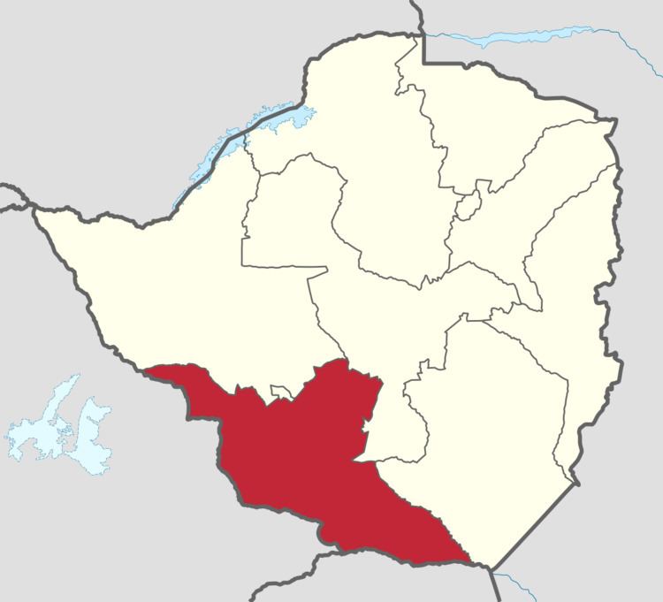
Map of Matabeleland South Province, Zimbabwe
Geography
The province sits on the edge of the Kalahari desert, hence it is arid and very dry. The province shares borders with South Africa and Botswana therefore the existence of Tswana, Sotho/Pedi, Venda and Shangani (Tsonga) speaking people in the province. The other languages that are native in the province are Ndebele and Khalanga.
Districts
The province of Matabeleland South is divided into 6 districts:
Notable villages/towns
References
Matabeleland South Province Wikipedia(Text) CC BY-SA