
Country Pakistan Area 5,896 km² | Established 1991 Time zone PST (UTC+5) | |
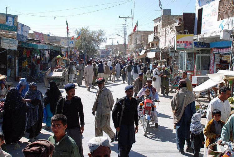 | ||
Mastung District (Urdu: ضلع مستونگ) is a district located in the northwest of Balochistan province, Pakistan. Prior to its creation as a separate district in 1991, Mastung was part of Kalat District.
Contents
Map of Mastung, Pakistan
Administration
The district consists of three tehsils:
Prior to 2006, within these there were 12 union councils: Khadkocha, Ghulam Parenz, Karez Noth, Mastung-1, Mastung-2, Sorgaz, Dasht, Isplinji, Kanak, Shaikh Wasil, Kardigap and Soro. In 2006, one additional union council formed with the name of Alizai, bringing the total union councils to 13.
Demography and languages
In 2005 the population of Mastung district was estimated to be over 180,349. The major religion is Islam, which accounts for 99% of the total population. Although the 1998 census report suggests that the main language is Brahui, according to its actual figures Balochi predominates, being the first language of 80% of the population. There is also a sizeable minority of Pashto speakers (6%).
The major tribes of the district are the Bangulzai, Raisani, Shahwani, Muhammad Shahi, Sarpara, Kurd, Lango and Dehwar.. The other tribes in the area are Syeds, Dehwar, Kurd, Rodeni,Mohammad Shahi,Mengal, Satakzai, Shahwani,Mashwani,Sumalani, Sarangzai Lehri,Baroozai,Tareen,Rind. Khilji, Khurasani, And Durrani.
Ex Chief Minister of Balchistan Nawab Aslam Raisani hails from this district. Law and order situation remained a challenge for law enforcement agencies in this district.