
Counties: Worcester | Length 6.37 km | |
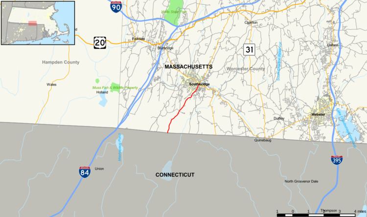 | ||
South end: Route 198 in Thompson, CT North end: Route 131 in Southbridge County Worcester County, Massachusetts | ||
Route 198 is a state highway in the U.S. state of Massachusetts. The highway runs 3.960 miles (6.373 km) from the Connecticut state line north to Route 131 within Southbridge in southern Worcester County.
Contents
Map of MA-198, Southbridge, MA 01550, USA
Route description
Route 198 begins along Eastford Road at the Connecticut state line, from which the road continues south as Connecticut Route 198 into Woodstock. The two-lane highway heads north through the town of Southbridge. At the south end of the town center, Route 198 has an oblique intersection with Elm Street, and the state highway assumes that name to its northern terminus at Route 131 (Main Street).
Major intersections
The entire route is in Southbridge, Worcester County.
References
Massachusetts Route 198 Wikipedia(Text) CC BY-SA