
PIN 712701 | Time zone IST (UTC+5:30) | |
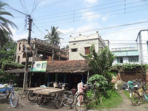 | ||
Masat is a census town in Chanditala I CD Block in the Hooghly district of West Bengal, India. It is under the Chanditala police station in the Srirampore subdivision.
Contents
- Map of Mosat West Bengal 712701
- Geography
- Demographics
- Railway
- Private Bus Routes
- Bus Routes without Numbers
- CTC Bus Routes
- Education
- References
Map of Mosat, West Bengal 712701
It is located approximately 28 km from the district headquarters of Hooghly and 33 km from the state capital, Kolkata.
Geography
Masat is located at 22.736986°N 88.191802°E / 22.736986; 88.191802 and is a Gram panchayat in the Chanditala I community development block, Hooghly.
Demographics
As of the 2011 Census of India, Masat has a total population of 8,007, consisting of 4,033 males and 3,974 females. The population of children under 6 years old is 752. The total number of literate people in Masat is 6,286 (86.64% of the population over 6 years of age).
Railway
Baruipara railway station is the nearest railway station at Howrah-Bardhaman chord Kolkata Suburban Railway. The main road is State Highway 15. It is the main road of the town and is connected to NH2.
Private Bus Routes
Bus Routes without Numbers
CTC Bus Routes
Education
Vidyasagar Mahavidyalaya, established in 1998 is an undergraduate college in the city of Masat.
Masat Aptap Mitra High School
Type: Co-edSubjects offered: Accountancy, Business Economics & Mathematics, Bio-Science, Bengali (A), Chemistry, Eco-Geography, Economics, English (B), Geography, History, Mathematics, Philosophy, Physics, Political Science