
Country Azerbaijan Postal code AZ4400 Website masalli-ih.gov.az Population 211,951 (2014) | Time zone GMT+4 (UTC+4) Telephone code (+994) 25 Area 721 km² | |
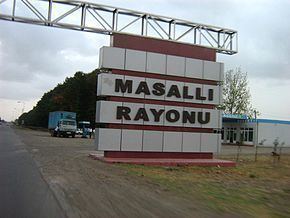 | ||
Masally (Masallı) is the administrative area in the south of Azerbaijan.
Contents
Map of Masalli, Azerbaijan
Geography
This territory borders on Lankaran, Lerik, Yardimli, Jalilabad, Neftchala districts. In the east, the district is washed by the Caspian Sea, and in the west it approaches Talish mountains, Burovar ridge. Height of the territory reaches 917 m. There are mineral and geothermal springs in Masally. Average temperature is 2,1°C in January, and 24,6°C in July. The amount of annual precipitation is 600–800 mm. Vilash is the largest river of the district. There are broad-leaved forests of Girkan type-chestnut-leaved oak, hornbeam, beech, Persian ironwood tree, Girkan boxwood, Caucasian persimmon, medlar and others in the mountainous part of the district. Total area of the district's forests equals to 16,87 thousand ha.There are 107 villages in the Masally
History
Masally rayon was originated in 1930. Formerly, the territory of the district was the part of Arkevan area of Lankaran rayon.
State political system
The head of Masally rayon is chief executive. Chief executives:
Administrative structure
The center of the district is city Masally. Average population density is 159 people per km². Boradigah township, Badalan, Arkevan, Banbashi, Gizilagaj, Teze Alvadi, Chakhirli villages are the other largest population aggregates.