
Topo map USGS Gods Pocket Peak | Elevation 3,223 m | |
 | ||
The Marys River Range is a mountain range in Elko County, Nevada, United States. It is contained within the Jarbidge Wilderness, which is administered by the Jarbidge Ranger District of the Humboldt-Toiyabe National Forest. The range is considered to be a sub-range of the Jarbidge Mountains. The range's name is derived from the Marys River, a tributary of the Humboldt, the headwaters of which lie within the range near Marys River Peak, the range highpoint.
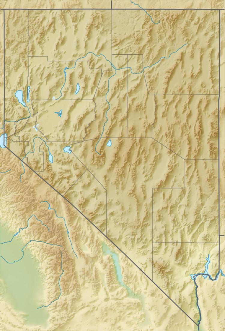
Map of Marys River Range, Nevada, USA
References
Marys River Range Wikipedia(Text) CC BY-SA