
Existed: 1927 – present Constructed 1927 | Touristroutes: Blue Crab Scenic Byway Length 7.34 km | |
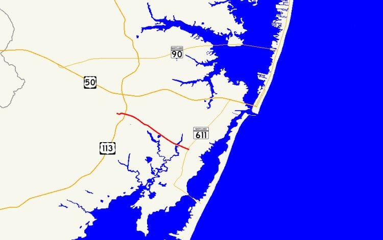 | ||
Maryland Route 376 (MD 376) is a state highway in the U.S. state of Maryland. Known for most of its length as Assateague Road, the state highway runs 4.56 miles (7.34 km) from MD 818 in Berlin east to MD 611 at Lewis Corner. MD 376 connects Berlin with communities on the Sinepuxent Neck and, in conjunction with MD 611, connects Berlin with Assateague Island National Seashore. The state highway was constructed from Berlin in the second half of the 1920s and the early 1930s.
Contents
Map of MD-376, Berlin, MD 21811, USA
Route description
MD 376 begins at an intersection with MD 818 (Main Street) in Berlin. After intersecting the southern end of MD 377 (Williams Street), the state highway heads east as two-lane Bay Street east to U.S. Route 113 (Worcester Highway) and leaves the town of Berlin upon traversing Hudson Branch. The highway's name changes to Assateague Road and MD 376 continues southeast through farmland and forest, intersecting Sinepuxent Road after crossing Trappe Creek. The state highway spans Ayres Creek before reaching its eastern terminus at MD 611 (Stephen Decatur Highway) in Lewis Corner.
History
MD 376 was paved from the Berlin town line to just east of Trappe Creek in 1924. Bay Street within Berlin was paved in 1925. By 1930, MD 376 had been completed east almost to Ayres Creek. The state highway was complete to Lewis Corner by 1933.
Junction list
The entire route is in Worcester County.