
Existed: 1927 – present Constructed 1927 | Length 7.4 km | |
 | ||
North end: DE 26 / DE / MD 54 near Pittsville | ||
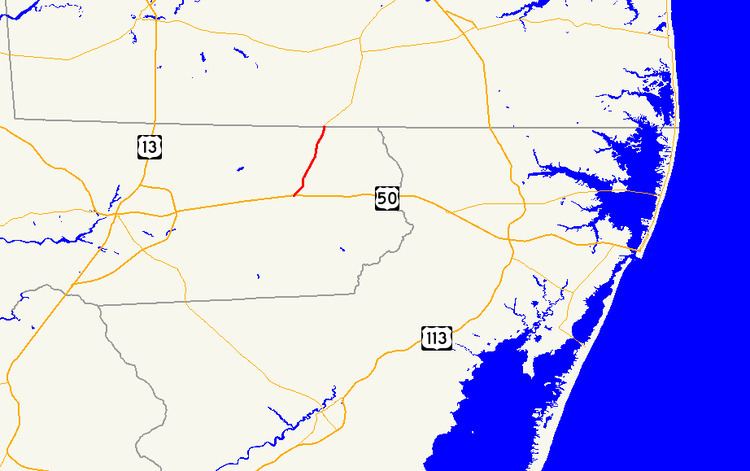
Maryland Route 353 (MD 353) is a state highway in the U.S. state of Maryland. Known as Gumboro Road, the state highway runs 4.60 miles (7.40 km) from MD 346 in Pittsville north to the Delaware state line, where the highway intersects Delaware Route 26 (DE 26) and DE-MD 54. MD 353 was constructed in the mid- to late 1920s.
Contents
Map of MD-353, Pittsville, MD 21850, USA
Route description
MD 353 begins at an intersection with MD 346 (Old Ocean City Road) just south of Pittsville. Sixty Foot Road continues south as a county highway to an intersection with U.S. Route 50 (Ocean Gateway). MD 353 heads northeast as a two-lane road through Pittsville. After intersecting Main Street, the highway turns north past scattered residences. After crossing Aydelotte Branch, MD 353 leaves Pittsville, crossing Burnt Mill Branch and passing through farmland all the way to the highway's northern terminus at the Delaware state line. The roadway continues into Delaware as DE 26 and DE 54 (Millsboro Highway). Bethel Road heads east from the intersection at the state line, while DE-MD 54 (Line Road) follows the state line west to Delmar, Maryland, and Delmar, Delaware.
History
MD 353 was constructed as a modern highway beginning in 1925 from Pittsville. By 1927, the highway extended north to Burnt Mill Branch. MD 353 was completed to the Delaware state line in 1929.
Junction list
The entire route is in Wicomico County.