
Existed: 1927 – present Length 4.54 km | Counties: Cecil Constructed 1927 | |
 | ||
North end: MD 537 in Chesapeake City | ||
Maryland Route 342 (MD 342) is a state highway in the U.S. state of Maryland. Known as St. Augustine Road, the highway runs 2.82 miles (4.54 km) from MD 310 at St. Augustine north to unsigned MD 537 in Chesapeake City in southern Cecil County. MD 342 was constructed in its entirety by 1915.
Contents
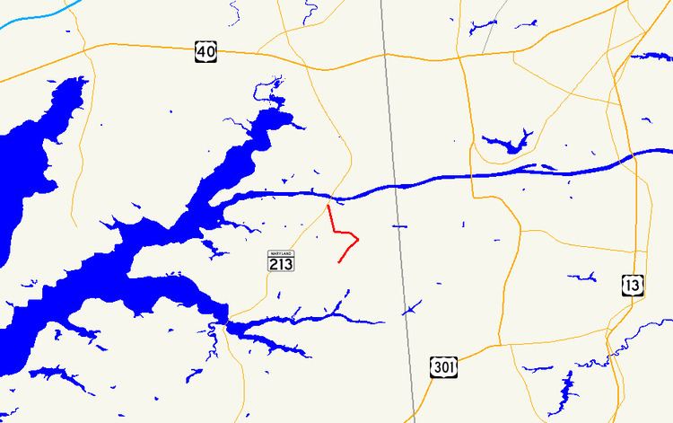
Map of MD-342, Chesapeake City, MD 21915, USA
Route description
MD 342 begins at an intersection with MD 310 (Cayots Corner Road) at the hamlet of St. Augustine. The two-lane highway heads northeast, makes a right-angle turn to the northwest, curves to the west, then takes a sharp turn to the north. The state highway enters the town of Chesapeake City an intersects an unnamed road (unsigned MD 537D) that leads to an interchange with MD 213 at the southern end of the Chesapeake City Bridge. MD 342 continues to its northern terminus at an oblique junction with George Street, which is unsigned MD 537C and leads to MD 286 in the South Chesapeake City Historic District.
History
St. Augustine Road was paved as a macadam road from George Street to the right-angle turn by 1910. The remainder of the road to St. Augustine and MD 310 east of St. Augustine were constructed as a 12-foot-wide (3.7 m) macadam road by Cecil County with state aid by 1915. MD 342 was resurfaced with bituminous concrete in 1988.
Junction list
The entire route is in Cecil County.