
Existed: 1927 – present Length 3.1 km | Counties: Cecil Constructed 1927 | |
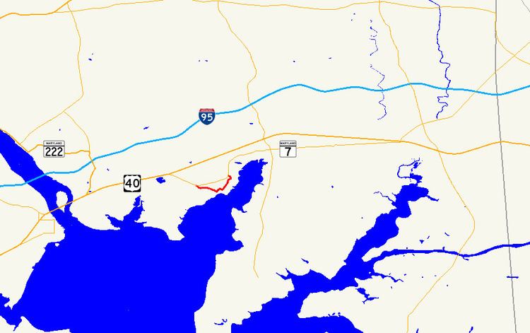 | ||
East end: MD 7 east of Charlestown | ||
Maryland Route 267 (MD 267) is a state highway in the U.S. state of Maryland. The highway runs 1.90 miles (3.06 km) through Charlestown between two intersections with MD 7 in southwestern Cecil County. MD 267, which follows the path of the old post road between Baltimore and Philadelphia, was constructed as a modern highway along that main line in 1915. The highway was bypassed by what is now MD 7 in 1921 to avoid a pair of dangerous bridges across what is now the Amtrak Northeast Corridor. Those two bridges and adjacent sections of MD 267 were replaced west and east of Charlestown in the mid-1960s and mid-1970s, respectively.
Contents
Map of MD-267, 5, North East, MD, USA
Route description
MD 267 begins at an intersection with MD 7 (Philadelphia Road) west of Charlestown. The state highway heads east as two-lane Baltimore Street, which immediately crosses over the Amtrak Northeast Corridor and enters the town of Charlestown. After passing Carpenters Point Road, MD 267 enters the Charlestown Historic District. After passing Charlestown Elementary School, the state highway turns north onto Cecil Street and crosses Red Rum Run. The state highway becomes Market Street after making a right-angle turn to the east and passes the Indian Queen Tavern and Black's Store, then turns north again onto Bladen Street. After crossing Peddlers Run Creek, leaving the historic district, and leaving the town limits, MD 267 crosses over the railroad tracks again and reaches its eastern terminus at MD 7 east of Charlestown.
History
MD 267 traces the path of the Old Post Road between Baltimore and Philadelphia blazed during the 18th century, during which Charlestown was the county seat of Cecil County. The Post Road from Perryville to Elkton was part of the state road system proposed by the State Roads Commission in 1909. The highway through Charlestown was constructed as a 14-foot (4.3 m) macadam road in 1915. The highway through Charlestown was bypassed when the Charlestown Cut-Off (later U.S. Route 40, now MD 7) was constructed in 1921, eliminating two dangerous bridges across Pennsylvania Railroad (now Amtrak) from the course of the main highway. The western bridge, named Weber's Bridge or Weavers Bridge, crossed over the railroad perpendicularly east of the current crossing and featured a sharp curve on the south side of the tracks and an intersection with MD 7 immediately to the north. This bridge was reconstructed in 1951. The eastern bridge, named Heisler's Bridge, also crossed the railroad perpendicularly east of the current crossing and had a right-angle turn immediately to the south of the crossing near Clearview Avenue. MD 267 was relocated and Weber's Bridge was replaced in 1966 and 1967. The bypassed piece of highway became MD 913. Heisler's Bridge was replaced and the adjacent state highway relocated between 1973 and 1975. A portion of the bypassed highway east of Charlestown was conveyed from the state to the adjacent property owners in 1974.
Junction list
The entire route is in Charlestown, Cecil County.