
 | ||
Similar Santa Clara River Trail, Syd Kronenthal Park, Compton Creek, Oso Creek Trail - Mission V, San Diego Creek | ||
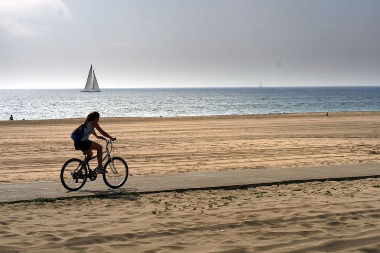
The Marvin Braude Bike Trail, also known as The Strand, is a paved bicycle path that runs mostly along the Pacific Ocean shoreline in Los Angeles County, California. The northern terminus of the trail is a paved Class 1 bicycle path at Will Rogers State Beach in Pacific Palisades, Los Angeles. The southern terminus of the trail is in Torrance County Beach in Torrance. The path is 22 miles (35 km) long, and the midpoint between the two ends of the path is near the southern end of the Playa del Rey residential area.
Contents
Map of Marvin Braude Bike Trail, Manhattan Beach, CA 90266, USA
The Strand was officially renamed in 2006 for Los Angeles City Councilman Marvin Braude and dedicated by State Senator Sheila Kuehl.
The Strand is not considered a "boardwalk" because it is not made out of wood boards.
Route
The path begins in Will Rogers State Beach in the Pacific Palisades area of the city of Los Angeles. It continues southbound along the beach and passes through Santa Monica State Beach in the city of Santa Monica, where the path passes underneath the Santa Monica Pier. The Santa Monica portion of the path is an 8.5-mile (13.7 km) Class 1 path in Los Angeles County running from Temescal Canyon in the north to Washington Boulevard in Venice in the south.
Realizing the success of paved bike paths in Europe, in the last decade of the nineteenth century, L.A. city planners proposed a bike path from Los Angeles to Santa Monica. The cost for the path was estimated at $200 per mile, with agreements from local farmers to allow the path to run across their lands.
The current path was proposed in the late 1960s and received final approval in 1988. The entire path is along the beach and was adamantly opposed by beachfront homeowners, who managed for two decades to stop the path from reaching Santa Monica. The last section of the path was opened in 1989.
The path then passes through in Venice Beach. The Class 1 bicycle path ends at the Venice Fishing Pier and riders must continue on the Class 2 bicycle path along Washington Boulevard. The Class 2 path eventually veers off of Washington Boulevard and takes riders around Marina Del Rey until it reaches a Class 1 path running alongside the main channel of the marina, an extension of the Ballona Creek bicycle path.
The path continues south through Dockweiler State Beach (which abuts Los Angeles International Airport and the city of El Segundo), El Porto Beach and Manhattan County Beach (both part of the city of Manhattan Beach).
In Hermosa Beach, riders have the choice of either continuing along the Class 1 bicycle path that runs alongside Hermosa City Beach (which can get quite busy with pedestrian foot traffic, especially during the summer months) or riding on a Class 2 bicycle lane that runs parallel to Hermosa Avenue.
The path continues along the beach through Redondo County Beach in the city of Redondo Beach. The path passes through the parking structure of the Redondo Beach pier. Signs instruct riders to dismount and walk their bikes across the main entrance to the pier and the King Harbor marina.
The path ends in Torrance County Beach, below a parking lot at the base of the Palos Verdes Peninsula hills.