
Opening date 1955 Length 260 m Catchment area 2,409.0 km² Opened 1955 Construction began 1943 | Total capacity 79,520,000 m³ Height 98 m Phone +81 574-43-2111 | |
 | ||
Similar Kasagi Dam, Kaneyama Dam, Ōi Dam, Agigawa Dam, Jindonooka Park | ||
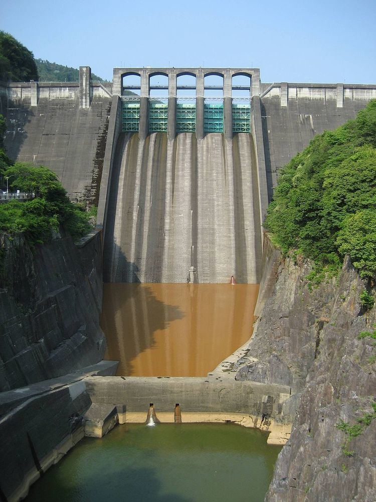
Maruyama dam spillway
The Maruyama Dam (丸山ダム, Maruyama Damu) is a dam on the border of Mitake and Yaotsu in Gifu Prefecture, Japan. It was built on the upper reaches of the Kiso River system. It is a gravity dam that is 98.2 m (322 ft) tall. It was built after World War II as part of a large, nationwide dam building project.
Contents
maruyama dam discharge
Surrounding area
Sosui Gorge (蘇水峡 Sosui-kyō) was formed by the completion of the dam. Along with Ena Gorge further upstream, the area is part of the Hida-Kisogawa Quasi-National Park.
References
Maruyama Dam Wikipedia(Text) CC BY-SA