
District Varanasi district Time zone IST (UTC+5:30) Elevation 81 m Local time Tuesday 2:36 AM | Tehsil Varanasi tehsil Postal code 221010 Population 14,298 (2011) | |
 | ||
Weather 28°C, Wind SW at 10 km/h, 67% Humidity | ||
Maruadih (Hindi: माडुआडीह) is a village & census town in Varanasi tehsil of Varanasi district in the Indian state of Uttar Pradesh. The census town falls under the Mhamudpur gram panchayat. Maruadih is about 4 kilometers South-West of Varanasi railway station, 319 kilometers South-East of Lucknow and 4 kilometers West of Dashashwamedh Ghat.
Contents
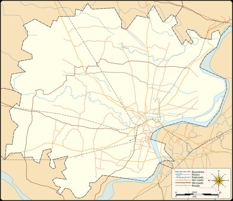
Map of Maruadih Rly. Settlement, Uttar Pradesh
Demography
Maruadih has 3284 families with a total population of 14,298. Sex ratio of the census town is 894 and child sex ratio is 818. Uttar Pradesh state average for both ratios is 912 and 902 respectively [note].
Transportation
Maruadih is connected by air (Lal Bahadur Shastri Airport), by train (Manduadih railway station) and by road. Nearest operational airports is Lal Bahadur Shastri Airport and nearest operational railway station is Manduadih railway station (26 and 1 kilometers respectively from Maruadih).