
Population 747 (2011) Sovereign state United Kingdom Local time Tuesday 1:05 AM | OS grid reference SK839819 | |
 | ||
Weather 7°C, Wind SW at 14 km/h, 92% Humidity | ||
Roman living history at marton lincolnshire
Marton is a village and civil parish in the West Lindsey district of Lincolnshire, England. The population of the civil parish (including Gate Burton) was 747 at the 2011 census. It lies on the A156, 5 miles (8 km) south from Gainsborough, and 11 miles (18 km) north-west from the county town of Lincoln.
Contents
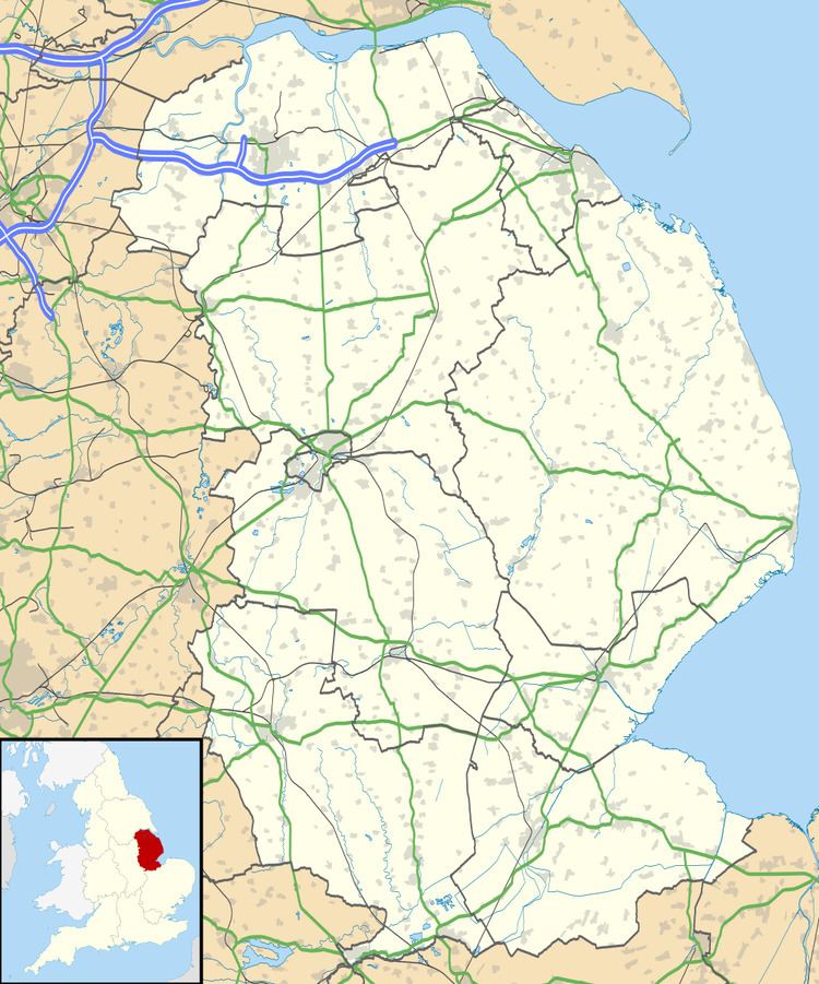
Map of Marton, UK
In Roman times, it was a way station, slightly north of the larger fort at Torksey, the point just before the Roman road crossed the River Trent. The modern A156 road crosses the ancient Roman road mentioned in the Antonine Itinerary.
In the centre of the village stands the church of St Margaret. The building is essentially of the Norman Conquest period, built using a mixture of Anglo-Saxon and Norman styles. Much of the work of these periods is still retained. It has an 11th-century tower of herringbone masonry, a Saxon cross shaft set in an outer wall and an ancient carved crucifix within. The tall cross in the churchyard is used as a war memorial and it is thought to be a former Medieval market buttercross.
There is also a restored windmill tower, owned by Lincolnshire County Council.