
Country United States Time zone CST (UTC-6) Elevation 196 m Zip code 62442 Population 1,602 (2010) | Established November 7, 1854 GNIS feature ID 0429333 Area 108.3 km² Local time Monday 7:52 PM | |
 | ||
Weather -1°C, Wind N at 16 km/h, 100% Humidity | ||
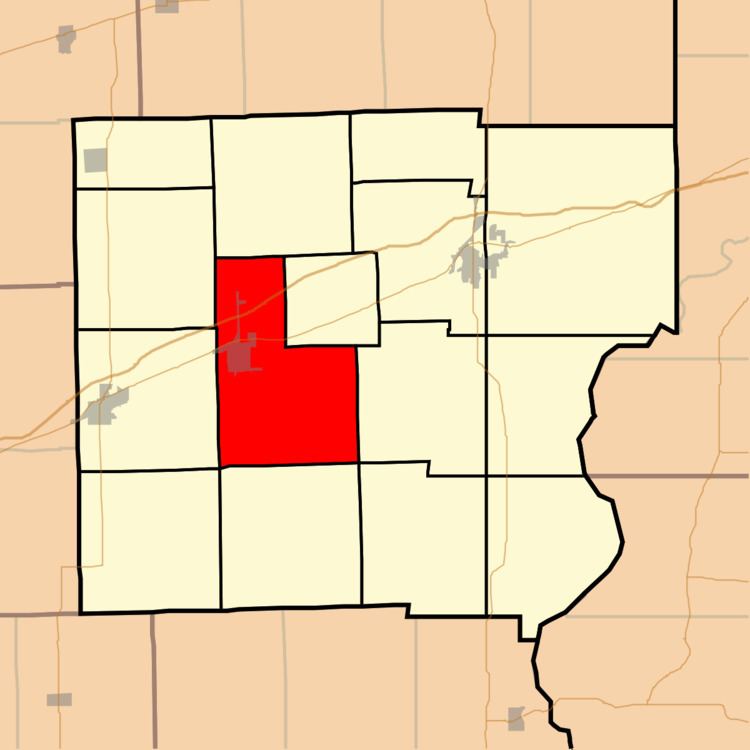
Martinsville Township is one of fifteen townships in Clark County, Illinois, USA. As of the 2010 census, its population was 1,602 and it contained 777 housing units.
Contents
- Map of Martinsville Township IL 62442 USA
- Geography
- Cities towns villages
- Unincorporated towns
- Cemeteries
- Major highways
- School districts
- Political districts
- References
Map of Martinsville Township, IL 62442, USA
Geography
According to the 2010 census, the township has a total area of 41.82 square miles (108.3 km2), of which 41.67 square miles (107.9 km2) (or 99.64%) is land and 0.15 square miles (0.39 km2) (or 0.36%) is water.
Cities, towns, villages
Unincorporated towns
(This list is based on USGS data and may include former settlements.)
Cemeteries
The township contains these six cemeteries: Island Grove, Kettering, Lincoln, Mount Pleasant, Baird and Rupp.
Major highways
School districts
Political districts
References
Martinsville Township, Clark County, Illinois Wikipedia(Text) CC BY-SA