
OS grid reference SJ779766 Sovereign state United Kingdom Local time Monday 8:27 PM | Unitary authority Postcode district WA16 Dialling code 01565 | |
 | ||
Weather 8°C, Wind SE at 3 km/h, 86% Humidity | ||
Marthall is a village in the unitary authority of Cheshire East and the ceremonial county of Cheshire, England. It is around 3 miles from Knutsford.
Map of Marthall, Knutsford, UK
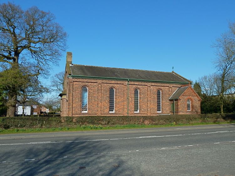
The village is small, it has a village hall, a church as well as a pub (The Egerton Arms). In 1976, Marthall civil parish was formed in its present state by including the neighbouring village, Ollerton. Although they still keep their old identities and village boundaries, they come together in a shared Parish Council and other facilities. As the population measured at the 2011 Census was only minimal details are included in the civil parish of Ollerton, Cheshire.
References
Marthall Wikipedia(Text) CC BY-SA