
 | ||
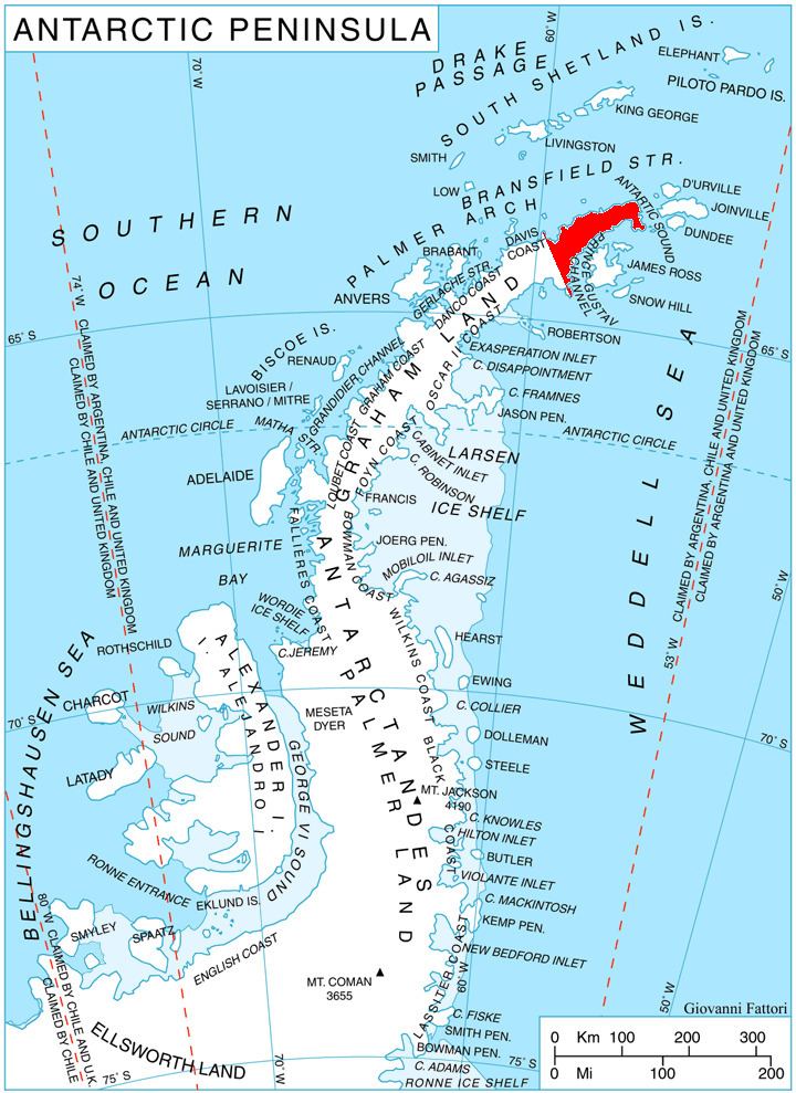
Marten Crag (Bulgarian: Мартенски камък, ‘Martenski Kamak’ \'mar-ten-ski 'ka-m&k) is the rocky peak rising to over 700 m between Stepup Col and the eastern foothills of Giovannini (Lobell) Ridge on Trinity Peninsula in Graham Land, Antarctica. It is surmounting Broad Valley to the north and Cugnot Ice Piedmont to the southeast.
Contents
The peak is named after the town of Marten in Northeastern Bulgaria.
Location
Marten Crag is located at 63°33′46″S 57°53′12″W, which is 8.2 km northwest of McCalman Peak, 7.88 km north by east of Kribul Hill, 4.53 km east-southeast of Yarlovo Nunatak, 9.58 km southwest of Kanitz Nunatak and 3.08 km west of Kumata Hill. German-British mapping in 1996.
Maps
References
Marten Crag Wikipedia(Text) CC BY-SA