
Area codes 063 Postal code 6630 Area code 063 | Postal codes 6630 Website www.martelange.be Local time Monday 8:49 PM | |
 | ||
Weather 8°C, Wind N at 8 km/h, 65% Humidity | ||
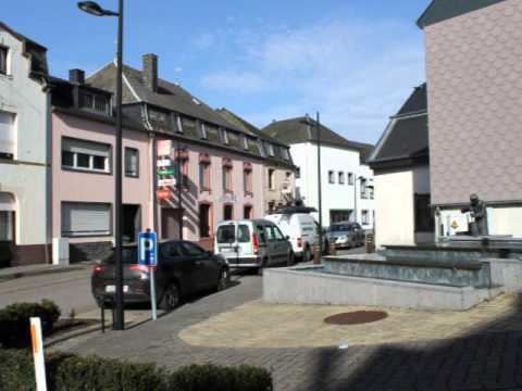
Martelange (German: Martelingen, Luxembourgish: Maartel, Walloon: Måtlindje) is a Walloon municipality of Belgium located in the province of Luxembourg.
Contents
Map of 6630 Martelange, Belgium
On 1 January 2007 the municipality, which covers 29.67 km2, had 1,584 inhabitants, giving a population density of 53.4 inhabitants per km². Besides Martelange itself, the municipality includes the population centers of Grumelange and Radelange.
For some 1.8 kilometres (1.1 mi), the N4 Brussels to Arlon road, which passes through the village, forms the border with the Grand Duchy of Luxembourg. Because fuel, tobacco, and alcohol taxes are lower in Luxembourg than in Belgium, the eastern, Luxembourgish side of this stretch of road has become lined with numerous filling stations and liquor stores.
History
Between 1830 and 1947, the town was a major slate quarrying centre, though the industry has now completely disappeared.
On August 21, 1967, a French tanker lorry containing 45 000 litres of liquid gas suffered from failing brakes while driving downhill. It exploded in the middle of the village, killing 22 people and injuring 54. Dozens of houses were completely destroyed.