
Country United States County Webster Area code(s) 417 Exchanges: 468,859 Elevation 455 m Zip code 65706 Local time Monday 1:52 PM | State Missouri Time zone Central (CST) (UTC-6) FIPS code 29-46388 Area 13.03 km² Population 6,791 (2013) | |
 | ||
Weather -2°C, Wind NW at 24 km/h, 77% Humidity | ||
Coming into marshfield missouri
Marshfield is a city in Webster County, Missouri, United States. As of the 2010 census, the city population was 6,633. As of 2015, Marshfield had a population of 7138 (U.S. Census Bureau estimate). It is the county seat and part of the Springfield, Missouri Metropolitan Area.
Contents
- Coming into marshfield missouri
- Map of Marshfield MO 65706 USA
- Marshfield missouri
- History
- Geography
- 2010 census
- 2000 census
- Education
- Notable people
- References
Map of Marshfield, MO 65706, USA
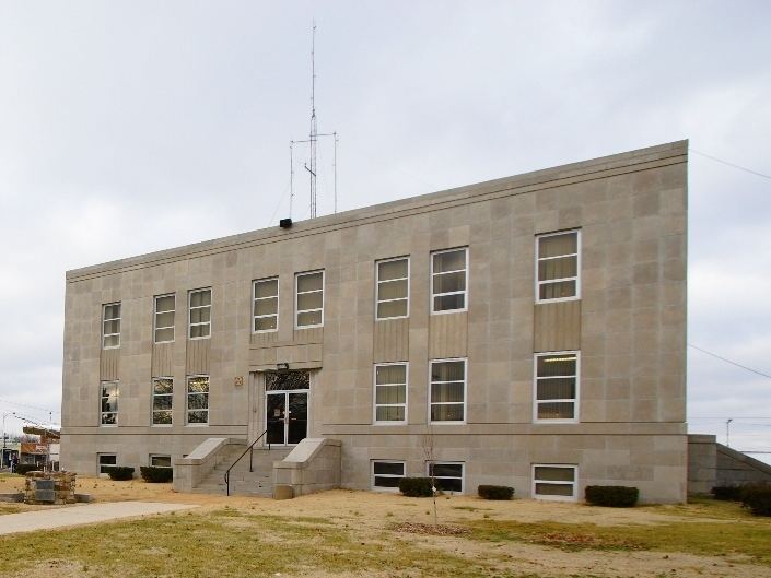
Marshfield missouri
History
Marshfield was platted in 1855, taking its name from Marshfield, Massachusetts. A post office called Marshfield has been in operation since 1856.
The Hosmer Dairy Farm Historic District and Rainey Funeral Home Building are listed on the National Register of Historic Places.
Geography
Marshfield is located at 37°20′23″N 92°54′26″W (37.339599, -92.907230). According to the United States Census Bureau, the city has a total area of 5.03 square miles (13.03 km2), all of it land.
2010 census
As of the census of 2010, there were 6,633 people, 2,605 households, and 1,756 families residing in the city. The population density was 1,318.7 inhabitants per square mile (509.2/km2). There were 2,918 housing units at an average density of 580.1 per square mile (224.0/km2). The racial makeup of the city was 96.5% White, 0.4% African American, 0.8% Native American, 0.2% Asian, 0.5% from other races, and 1.7% from two or more races. Hispanic or Latino of any race were 1.7% of the population.
There were 2,605 households of which 37.0% had children under the age of 18 living with them, 49.0% were married couples living together, 14.0% had a female householder with no husband present, 4.4% had a male householder with no wife present, and 32.6% were non-families. 28.9% of all households were made up of individuals and 14.8% had someone living alone who was 65 years of age or older. The average household size was 2.47 and the average family size was 3.04.
The median age in the city was 36.4 years. 27.6% of residents were under the age of 18; 8.5% were between the ages of 18 and 24; 24.3% were from 25 to 44; 21.9% were from 45 to 64; and 17.7% were 65 years of age or older. The gender makeup of the city was 47.1% male and 52.9% female.
2000 census
As of the census of 2000, there were 5,720 people, 2,256 households, and 1,534 families residing in the city. The population density was 1,182.7 people per square mile (456.3/km²). There were 2,417 housing units at an average density of 499.8/sq mi (192.8/km²). The racial makeup of the city was 97.80% White, 0.19% African American, 0.42% Native American, 0.30% Asian, 0.12% from other races, and 1.17% from two or more races. Hispanic or Latino of any race were 1.75% of the population.
There were 2,256 households out of which 34.7% had children under the age of 18 living with them, 53.2% were married couples living together, 11.4% had a female householder with no husband present, and 32.0% were non-families. 28.7% of all households were made up of individuals and 16.0% had someone living alone who was 65 years of age or older. The average household size was 2.44 and the average family size was 3.00.
In the city, the population was spread out with 27.1% under the age of 18, 9.4% from 18 to 24, 27.2% from 25 to 44, 18.2% from 45 to 64, and 18.1% who were 65 years of age or older. The median age was 35 years. For every 100 females there were 85.0 males. For every 100 females age 18 and over, there were 79.3 males.
As of 2000, the median income for a household was $27,753, and the median income for a family was $36,090. Males had a median income of $27,813 versus $20,752 for females. The per capita income for the city was $14,855. About 5.5% of families and 11.6% of the population were below the poverty line, including 10.2% of those under age 18 and 12.2% of those age 65 or over.
Education
Marshfield has one public high school, Marshfield High School and one Christian school, Marshfield Christian School.