
- elevation 5,157 ft (1,572 m) Length 90 km Country United States of America | - elevation 4,518 ft (1,377 m) Mouth Portneuf River | |
 | ||
- location near Red Rock Pass, Bannock County, Idaho - location near Inkom, Bannock County, Idaho | ||
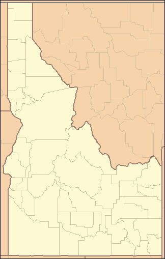
Marsh Creek is a 56-mile (90 km) long tributary of the Portneuf River in Bannock County, Idaho. Beginning at an elevation of 5,157 feet (1,572 m) near Red Rock Pass, it flows generally north near the communities of Downey and Arimo. It parallels the Portneuf River starting near McCammon, reaching its mouth near Inkom, at an elevation of 4,518 feet (1,377 m). It is roughly paralleled by Interstate 15 for most of its length.
Map of Marsh Creek, Idaho, USA
References
Marsh Creek (Portneuf River) Wikipedia(Text) CC BY-SA