
Country United States ZIP codes 42759 Elevation 196 m Population 217 (2010) | Time zone Central (CST) (UTC-6) FIPS code 21-50124 Area 3.34 km² Local time Monday 11:23 AM | |
 | ||
Weather 10°C, Wind S at 14 km/h, 49% Humidity | ||
Marrowbone is a census-designated place and unincorporated community in Cumberland County, Kentucky, United States. As of the 2010 census it had a population of 217. It has a post office, with the ZIP code of 42759.
Contents
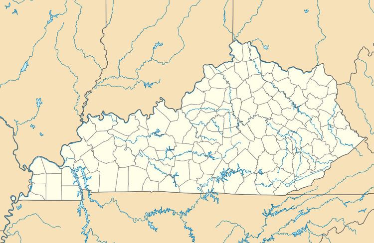
Map of Marrowbone, KY 42731, USA
Geography
It lies along Route 90 west of the city of Burkesville, the county seat of Cumberland County. Its elevation is 643 feet (196 m), and it is located at about (36.8288889, -85.5030556).
History
In March 2010, nine congregants of the Marrowbone Christian Brotherhood Mennonite Church were among eleven killed on Interstate 65 near Bowling Green and Mammoth Cave National Park in Kentucky's deadliest vehicle wreck in 20 years.
References
Marrowbone, Cumberland County, Kentucky Wikipedia(Text) CC BY-SA