
Time zone Eastern (EST) (UTC-5) GNIS feature ID 590745 Local time Monday 12:17 PM | Elevation 93 m | |
 | ||
Weather 1°C, Wind SE at 13 km/h, 43% Humidity | ||
2070 saint james road marriottsville maryland 21104
Marriottsville is an unincorporated community in both Howard County and Carroll County, Maryland, United States. Marriottsville is located along Marriottsville Road near the Carroll County line, 10.3 miles (16.6 km) north-northwest of Columbia.
Contents
- 2070 saint james road marriottsville maryland 21104
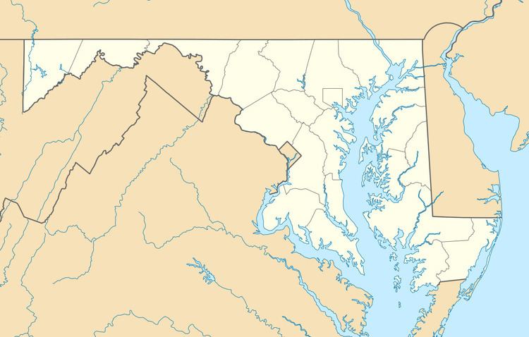
- Map of Marriottsville MD 21104 USA
- History
- Notable people
- References
Map of Marriottsville, MD 21104, USA
History
Marriottsville is named after General Richard Marriott's estate. Marriott was an heir of John Marriott of Severn who settled in Anne Arundel County in 1664. The land was originally part of a large section of land patented by Charles Carroll of Carrollton. Waverley slave plantation occupied a significant portion of the land which was known as the Howard District of Anne Arundel County. The village was home to a magnesium limestone quarry, and was known for farms such as "Prospect Hill", and School Board member Henry O. Devries (1826-1902) farm.
On 22 March 1836, a railroad car derailed on a demonstration of the new railroad technology with 40 city leaders on board. In 1866, Reese's Mill was washed out by regional flooding.
From 1965 to 1974, large tracts of Marriottsville once known as Alpha were purchased by land speculators anticipating development. In 1977 County Executive Edward L. Cochran chooses Marriottsville for a landfill site. Alpha Ridge Landfill opened in May 1980. A expansion plan proposed by Charles I. Ecker was suspended after contamination of groundwater was reported, which brought public water extensions, followed by density increases approved by the Howard County Department of Planning and Zoning for land development.