
Time zone CET/CEST (UTC+1/+2) Area 39.68 km² Local time Monday 3:22 PM | Elevation 301 m (988 ft) Postal codes 66646 Population 10,983 (31 Dec 2008) Postal code 66646 | |
 | ||
Weather 14°C, Wind SW at 11 km/h, 39% Humidity | ||
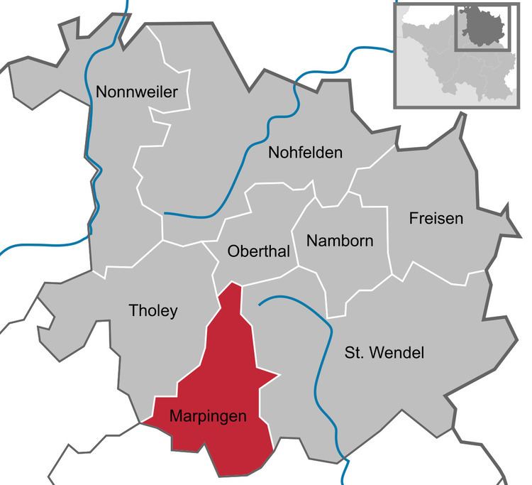
Marpingen is a municipality in the district of Sankt Wendel, in Saarland, Germany. It is situated approximately 8 km west of Sankt Wendel, and 25 km north of Saarbrücken.
Contents
Map of 66646 Marpingen, Germany
The municipality contains the urban areas Marpingen, Urexweiler, Alsweiler und Berschweiler, which have the status of Ortschaft, and Rheinstraße, which is in the administrative area of Marpingen, und Habenichts, which is in the administrative area of Urexweiler.
History
In 1876, at the height of the Kulturkampf, Marpingen was claimed to be the site of an apparition of the Virgin Mary, leading to a major conflict between the Prussian Government and the believers who flocked to Marpingen as a result.
References
Marpingen Wikipedia(Text) CC BY-SA