
Area 37.66 km² Local time Monday 1:43 PM | Time zone CET (UTC+1) Population 1,996 (2007) | |
 | ||
Weather 16°C, Wind N at 13 km/h, 50% Humidity | ||
Marmagne is a commune in the Cher department in the Centre region of France.
Contents
Map of 18500 Marmagne, France
Geography
A farming area comprising a large village and several small hamlets situated by the banks of the Yèvre river and the canal de Berry, some 5 miles (8.0 km) west of Bourges at the junction of the D160, D214 and the D107 roads. The A71 autoroute cuts across the middle of the commune’s territory, which is also served by a TER railway.
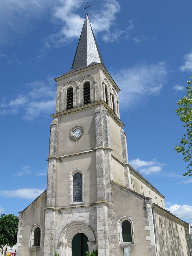
Sights
References
Marmagne, Cher Wikipedia(Text) CC BY-SA