Intercommunality Artois Area 4.55 km² Local time Monday 12:59 PM | Canton Divion Time zone CET (UTC+1) Population 6,088 (1999) | |
 | ||
Weather 11°C, Wind NW at 16 km/h, 82% Humidity | ||
Marles-les-Mines is a commune in the Pas-de-Calais department in the Hauts-de-France region of France.
Contents
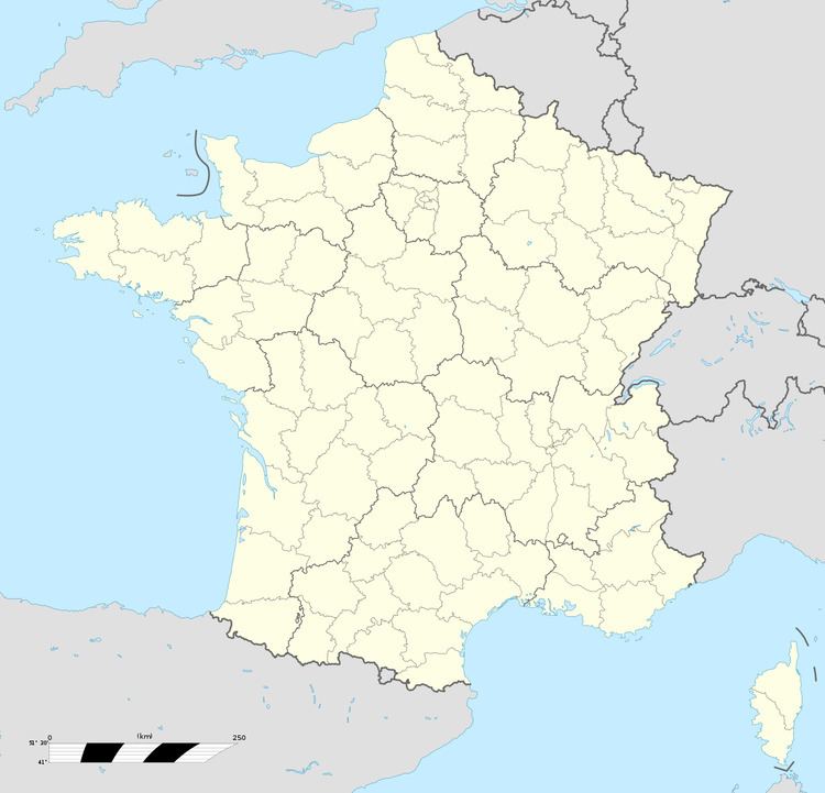
Map of Marles-les-Mines, France
Geography
As the name suggests, an ex-coalmining town, which now relies on light industry and farming. It is situated some 5 miles (8.0 km) southwest of Béthune and 36 miles (57.9 km) southwest of Lille, at the junction of the D70 and D188 roads. The Clarence River flows through the commune.
Places of interest
References
Marles-les-Mines Wikipedia(Text) CC BY-SA
