
Quadrant NE Established 1967 Elevation 1,075 m | Ward 10 Postal code T2A Population 8,465 (2006) Local time Monday 5:49 AM | |
 | ||
Weather -15°C, Wind S at 14 km/h, 77% Humidity Restaurants Taketomi Village Chinese, Raja Foods, Dover Pizza And Steak Ho, Scotian Style Pizza & Donair, Insadong Korean BBQ Rest | ||
Marlborough is a residential neighbourhood in the north-east quadrant of Calgary, Alberta. It is bounded by the Trans-Canada Highway to the north, 52 Street E to the east, Memorial Drive to the south and 36 Street E to the west.
Contents
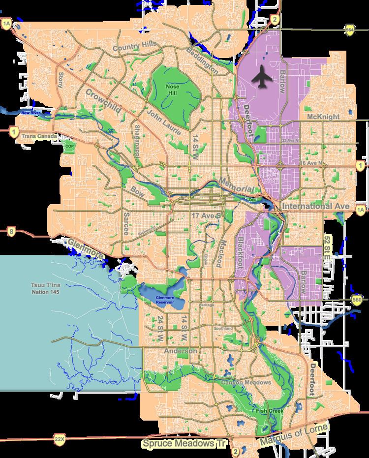
Map of Marlborough, Calgary, AB, Canada
The community is served by the Marlborough station of the C-Train LRT system, and Marlborough Mall is located in the south-west corner of the neighbourhood.
Marlborough was established in 1967, and was named after Marlborough, England. It is represented in the Calgary City Council by the Ward 10 councillor.
The postal code in this area is T2A.
History
The northwest corner of the district was largely undeveloped when the community was first developed; a small motel was in existence on the south-east corner of 16th Avenue and 36th Street NE and a large open field was used for industrial/oilfield storage into the 1970s. The creation of a clover leaf exchange in the early 1970s at that intersection saw the motel demolished. In the 1990s, the final major residential development occurred as houses were added to the western portion of Marlyn Way.
Demographics
In the City of Calgary's 2012 municipal census, Marlborough had a population of 7003843400000000000♠8,434 living in 7003312300000000000♠3,123 dwellings, a 1.5% increase from its 2011 population of 7003831000000000000♠8,310. With a land area of 2.7 km2 (1.0 sq mi), it had a population density of 3,120/km2 (8,090/sq mi) in 2012.
Residents in this community had a median household income of $53,921 in 2000, and there were 17.1% low income residents living in the neighbourhood. As of 2000, 30.1% of the residents were immigrants. A proportion of 17% of the buildings were condominiums or apartments, and 27.8% of the housing was used for renting.
Education
The Bob Edwards Junior High, Chris Akkerman Elementary and Marlborough Elementary public schools serve the community, as well as the St. Mark Elementary School (catholic).