
Elevation 74 m (243 ft) Area code(s) +381(0)13 Local time Monday 11:49 AM | Time zone CET (UTC+1) Car plates VŠ Population 216 (2002) | |
 | ||
Weather 8°C, Wind NW at 16 km/h, 73% Humidity | ||
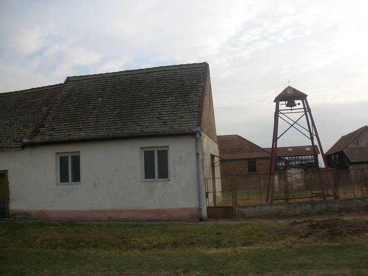
Markovićevo (Serbian Cyrillic: Марковићево) is a village in Serbia. It is situated in the Plandište municipality, South Banat District, Vojvodina province.
Contents
Map of Markovi%C4%87evo, Serbia
Name
Older Serbian name for the village was Kriva Bara (Крива Бара). In Hungarian the village is known as Torontálújfalu (Formerly also Ujfalu and Torontal-Ujfalu).
Demographics
The village has a Serb ethnic majority (70,37%) with a sizable Hungarian minority (21,29%) and its population numbering 216 people (2002 census).
Historical population
References
Markovićevo Wikipedia(Text) CC BY-SA