Length 100 km | Mouth elevation 0 | |
 | ||
Crossing the markarflj t 2
Markarfljót is a river in the south of Iceland. It is approximately 100 kilometers long.
Contents
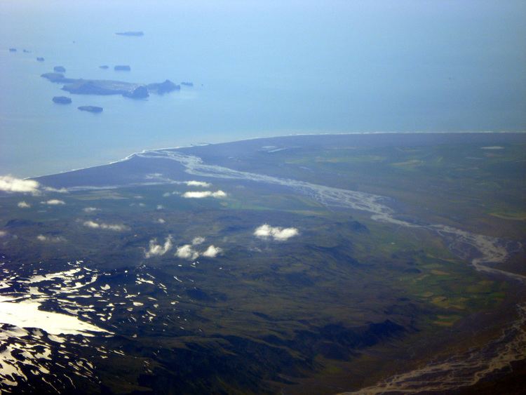
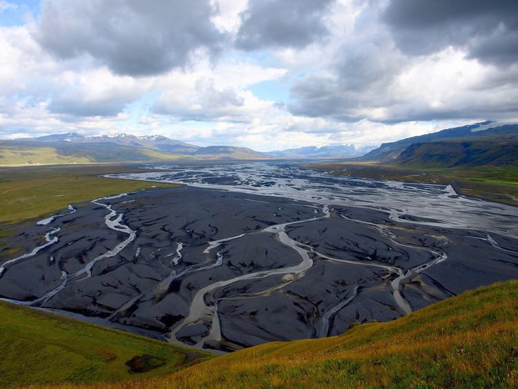
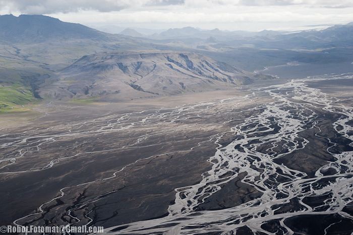
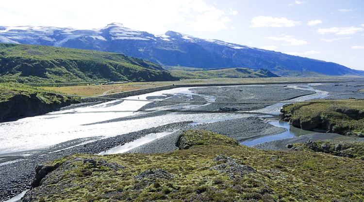
The Markarfljót rises in the Rauðafossafjöll massif, east of the volcano Hekla. The main sources for the river are the glaciers Mýrdalsjökull and Eyjafjallajökull. It flows through narrow gorges in the mountainous area between the glaciers Tindfjallajökull and Torfajökull, then spreads in the wide sandur plains at Iceland's south coast, near Þórsmörk. The Markarfljót takes its course first north, then west of Þórsmörk and finally empties into the Atlantic west of Eyjafjallajökull.
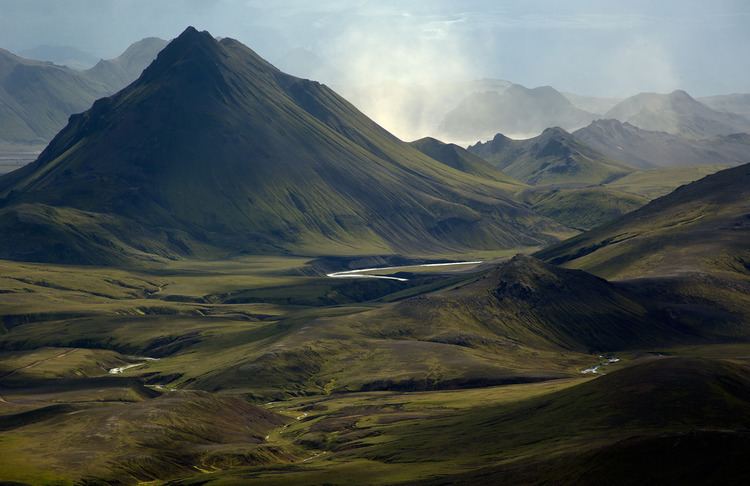
One of the Markarfljót's tributaries is the river Krossá, flowing through Þórsmörk, which is notorious for sudden changes in its water level.
The highest discharge ever measured in the Markarfljót was 2,100 m3/s (74,000 cu ft/s) in 1967, during the Steinholt jökulhlaup.
The first bridge over the river was opened in 1934 near Litli Dímon. It is 242 meters long and was at the time the longest bridge in Iceland. A second bridge was built in 1978 at Emstrur. A third bridge was opened in 1992 a few kilometers south of the first bridge.
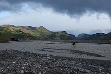
Crossing the markarflj t 1