
 | ||
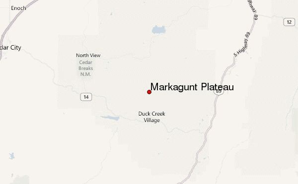
The Markagunt Plateau is an 800-square-mile (2,100 km2) plateau located in southwestern Utah between Interstate 15 and U.S. Route 89. It is one of the plateaus that make up the High Plateaus Section of the Colorado Plateau Province.
Contents
Markagunt is a name derived from the Piute language meaning "highland of trees".
GeographyEdit
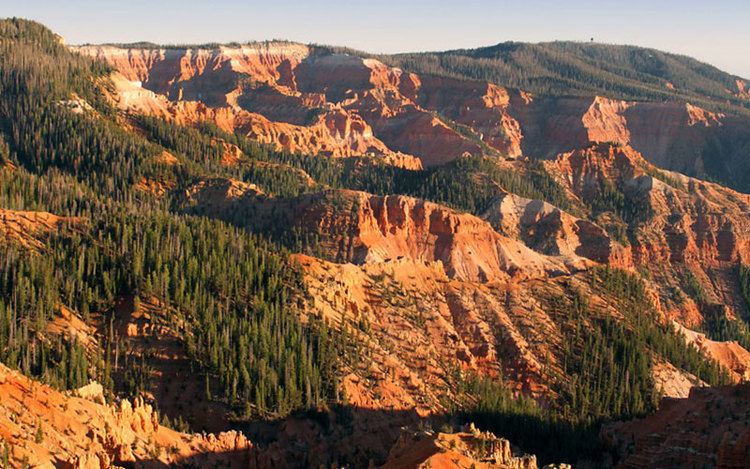
The plateau encompasses Cedar Breaks National Monument, and is part of the Cedar Mountain District of Dixie National Forest. The highest point on the plateau is Brian Head Peak at 11,307 feet (3,446 m).
Volcanic fieldEdit
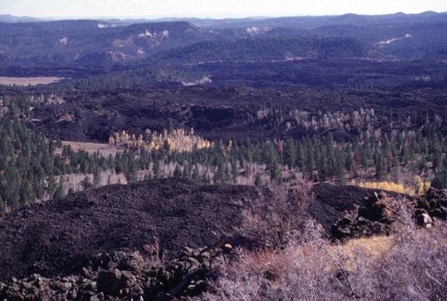
The Markagunt Plateau volcanic field is an area of basaltic cinder cones and blocky lava flows. The most recent flows occurred around 1050 A.D. and were preceded by a series of trachytic, andesitic and rhyolitic lava.
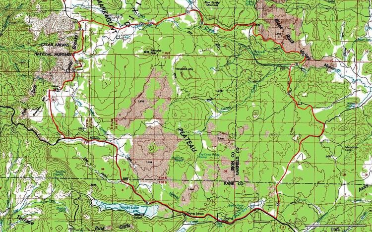
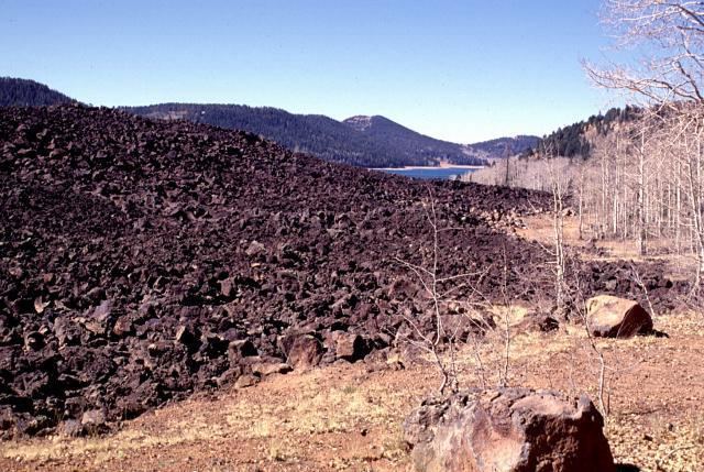
The field lies east of Cedar Breaks National Monument. Navajo Lake was formed when a lava flow dammed a creek on the plateau. Mammoth Cave is a lava tube cave located on the plateau.
The youngest features of the Markagunt Plateau volcanic field are blocky unvegetated lava flows known locally as the 'Black Rock Desert.' They extend from near Miller Knoll on to the southeast. These flows also extend northeast to near Panguitch Lake.