
Country United States Elevation 199 m Local time Sunday 11:17 PM University Saint Joseph's College | GNIS feature ID 0453607 Area 136.2 km² Population 7,571 (2010) | |
 | ||
Weather -1°C, Wind E at 13 km/h, 52% Humidity | ||
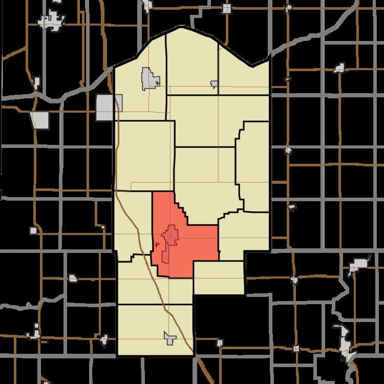
Marion Township is one of thirteen townships in Jasper County, Indiana, United States. As of the 2010 census, its population was 7,571 and it contained 2,989 housing units.
Contents
- Map of Marion Township IN 47978 USA
- History
- Geography
- Cities and towns
- Unincorporated towns
- Adjacent townships
- Cemeteries
- Major highways
- Airports and landing strips
- References
Map of Marion Township, IN 47978, USA
History
Charles Halleck Student Center, Hugh and Leona Rank House, and Schwietermann Hall were listed on the National Register of Historic Places in 2016.
Geography
According to the 2010 census, the township has a total area of 52.58 square miles (136.2 km2), of which 52.51 square miles (136.0 km2) (or 99.87%) is land and 0.06 square miles (0.16 km2) (or 0.11%) is water.
Cities and towns
Unincorporated towns
Adjacent townships
Cemeteries
The township contains three cemeteries: Crockett, Mount Calvary and Weston.
Major highways
Airports and landing strips
References
Marion Township, Jasper County, Indiana Wikipedia(Text) CC BY-SA