
Country United States GNIS feature ID 0468351 Area 94.78 km² Population 1,030 (2010) | Time zone CST (UTC-6) Elevation 377 m Local time Sunday 11:17 PM | |
 | ||
ZIP codes 50431, 50441, 50452, 50475 Weather -5°C, Wind E at 27 km/h, 97% Humidity | ||
Marion Township is one of sixteen townships in Franklin County, Iowa, United States. As of the 2010 census, its population was 1,030 and it contained 464 housing units.
Contents
- Map of Marion IA USA
- History
- Geography
- Cities towns villages
- Unincorporated towns
- Cemeteries
- Transportation
- School districts
- Political districts
- References
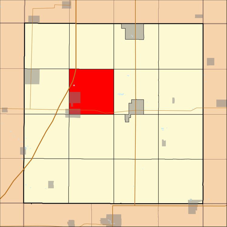
Map of Marion, IA, USA
History
Marion Township was organized in 1874.
Geography
As of the 2010 census, Marion Township covered an area of 36.6 square miles (95 km2); of this, 36.56 square miles (94.7 km2) (99.91 percent) was land and 0.03 square miles (0.078 km2) (0.09 percent) was water.
Cities, towns, villages
Unincorporated towns
(This list is based on USGS data and may include former settlements.)
Cemeteries
The township contains Coulter Cemetery, Marion Center Cemetery and Saint Pauls Evangelical Lutheran Cemetery.
Transportation
School districts
Political districts
References
Marion Township, Franklin County, Iowa Wikipedia(Text) CC BY-SA