
Founded March 14, 1844 Area 4,307 km² County seat Ocala | Website www.marioncountyfl.org Population 337,362 (2013) Unemployment rate 6.2% (Apr 2015) | |
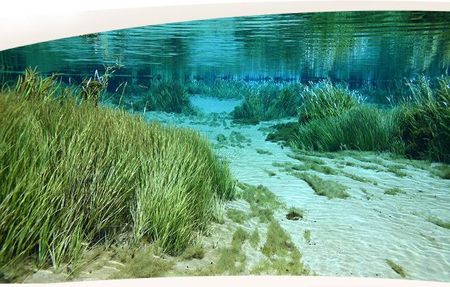 | ||
Points of interest Appleton Museum of Art Colleges and Universities College of Central Florida, Taylor College, Rasmussen College‑Ocala Destinations | ||
Ride with us visit ocala marion county florida hd
Marion County is a county located in the U.S. state of Florida. As of the 2010 census, the population was 331,298. Its county seat is Ocala.
Contents
- Ride with us visit ocala marion county florida hd
- Map of Marion County FL USA
- History
- Geography
- Adjacent counties
- National protected area
- Demographics
- Government and infrastructure
- Law enforcement
- Education
- Public school system
- High schools
- Libraries
- Airports
- Interstates and Expressways
- Surface roads
- Public surface transportation
- Politics
- Cities
- Towns
- Census designated places
- References
Map of Marion County, FL, USA
Marion County comprises the Ocala, FL Metropolitan Statistical Area.
History
Marion County was created in 1844 from portions of Alachua, Mosquito (Orange), and Hillsborough counties. Until 1853, Marion County included most of what are now Lake and Sumter counties. In 1849, Putnam County was created and took the northeast portion of Marion. Levy County’s creation took some of the western portion of Marion in 1877. The county is named after General Francis Marion of South Carolina, a guerilla fighter and hero of the American Revolutionary War. A large share of the early settlers being natives of South Carolina likely caused the name to be selected. The Act creating the county of Marion of the Territory of Florida was signed on March 14, 1844, by the territorial governor, R. K. Call. Many of the early settlers of Marion County were from South Carolina. The county motto is "Kingdom of the Sun." Farms in the county are known for breeding champion race horses such as Affirmed and Needles.
Geography
According to the U.S. Census Bureau, the county has a total area of 1,663 square miles (4,310 km2), of which 1,585 square miles (4,110 km2) is land and 78 square miles (200 km2) (4.7%) is water.
Marion County is generally composed of rolling hills, some high and some low. The majority of its trees consist of live oaks, pine, and palm trees. Marion County is considered the southernmost county in North Central Florida, and the northernmost county in Central Florida.
It is about a two-hour drive from many of Florida's major cities, Orlando is 75 minutes to the southeast while Daytona Beach is about 90 minutes to the east. Tampa is about 75 minutes to the southwest. Jacksonville is roughly a two-hour drive northeast. Miami is about five hours to the southeast. Fort Lauderdale is about a four-hour drive from Marion County.
Marion County also has three large lakes at its opposite borders. Orange Lake is in the far northern part of Marion County, near the border with Alachua County. Lake Kerr is in the northeastern part of the county, near the town of Salt Springs, which is near the border with Putnam County. Lake Weir, the largest of the three, is in the far southern region near the border with Lake County. Part of Lake George is in Marion County also.
Marion County is inland, centered between the Atlantic Ocean to the east and the Gulf of Mexico to the west. Because of this, Marion County is not affected as much by hurricanes as the more coastal counties to its east and west are. It has however been impacted by major hurricanes within the historical record including ones that would produce tremendous damage if they were to happen again. The second greatest threat from tropical cyclones, both financial and in terms of life, is the threat created by fresh water flooding. Major winds above 100mph are possible from hurricanes in Marion County, anywhere in the county, but have not been recorded in modern times. However, tornadoes are a major threat to this region of the state. Although Marion County is not near either of Florida's coasts, it is situated slightly to the west. Therefore, it takes a little less than an hour to get to the Gulf of Mexico while it takes about half an hour longer to get to the Atlantic Ocean.
Adjacent counties
National protected area
Demographics
As of the census of 2000, there were 258,916 people, 106,755 households, and 74,621 families residing in the county. The population density was 164 people per square mile (63/km²). There were 122,663 housing units at an average density of 78 per square mile (30/km²). The racial makeup of the county was 84.16% White, 11.55% Black or African American, 0.45% Native American, 0.70% Asian, 0.02% Pacific Islander, 1.69% from other races, and 1.44% from two or more races. 6.03% of the population were Hispanic or Latino of any race. According to the 2000 Census the largest European ancestry groups in Marion County were English (18.7%), German (16.7%) and Irish (14.0%).
There were 106,755 households out of which 24.70% had children under the age of 18 living with them, 55.60% were married couples living together, 10.70% had a female householder with no husband present, and 30.10% were non-families. 25.00% of all households were made up of individuals and 13.00% had someone living alone who was 65 years of age or older. The average household size was 2.36 and the average family size was 2.79.
In the county, the population was spread out with 21.40% under the age of 18, 6.40% from 18 to 24, 23.80% from 25 to 44, 23.90% from 45 to 64, and 24.50% who were 65 years of age or older. The median age was 44 years. For every 100 females there were 93.30 males. For every 100 females age 18 and over, there were 89.90 males.
The median income for a household in the county was $31,944, and the median income for a family was $37,473. Males had a median income of $28,836 versus $21,855 for females. The per capita income for the county was $17,848. About 9.20% of families and 13.10% of the population were below the poverty line, including 20.20% of those under age 18 and 7.40% of those age 65 or over.
Government and infrastructure
The Florida Department of Corrections operates facilities in unincorporated areas in the county, including the Lowell Correctional Institution and the Lowell Annex. The annex houses Florida's female death row.
Law enforcement
Education
County public education is supervised under the Marion County School District.
Public school system
High schools
Marion County Public Schools Homepage
Libraries
The Marion County Public Library System has 8 branches. The library system also has two bookmobiles that have routes throughout the county on weekdays.
Headquarters – Ocala
2720 E. Silver Springs Blvd.
Ocala, FL 34470
Belleview
13145 SE Highway 484
Belleview, FL 34420
Dunnellon
20351 Robinson Road
Dunnellon, FL 34431
Forest
905 S. Highway 314A
Ocklawaha, FL 32179
Freedom
5870 SW 95th St.
Ocala, FL 34476
Ft. McCoy
14660 NE Highway 315
Ft. McCoy, FL 32134
Marion Oaks
294 Marion Oaks Lane
Ocala, FL 34473
Reddick
15150 NW Gainesville Road
Reddick, FL 32686
Airports
Interstates and Expressways
Surface roads
Public surface transportation
Local bus service is provided by SunTran.
Politics
Since 1980 Marion County has become a solidly Republican county.