
Local time Sunday 8:31 PM Area code 0413 | Time zone CET (UTC+1) Postcode 5464 Population 994 (2015) | |
 | ||
Weather 9°C, Wind NE at 5 km/h, 59% Humidity | ||
Mariaheide is a village in the south of the Netherlands. It is situated in the municipality of Veghel, North Brabant. As of January 2015 it has a population of 1,449.
Contents
Map of Mariaheide, Netherlands
History
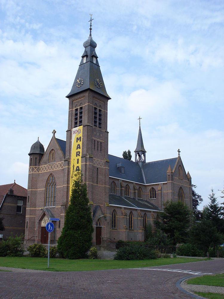
Mariaheide was founded as a linear settlement along the road from Veghel to Uden. Real population growth never got off the ground though, and in 1907 Mariaheide still only consisted of several farms on cultivated former heathland. However that year, Mariaheide split off from the St. Lambert Parish in Veghel, to form a new and separate parish, the Our Lady of Good Counsel Parish, and got its own church. In 1912, the Franciscan Sisters of the Immaculate Conception of the Holy Mother of God from Veghel, founded the St. Nicholas Monastery in Mariaheide.
References
Mariaheide Wikipedia(Text) CC BY-SA