Topo map USGS Margarita Peak Elevation 973 m | Easiest route Trail Prominence 314 m Parent range Santa Margarita Mountains | |
 | ||
Similar San Mateo Peak, Viejas Mountain, Redonda Mesa, Cuyamaca Peak, Hot Springs Mountain | ||
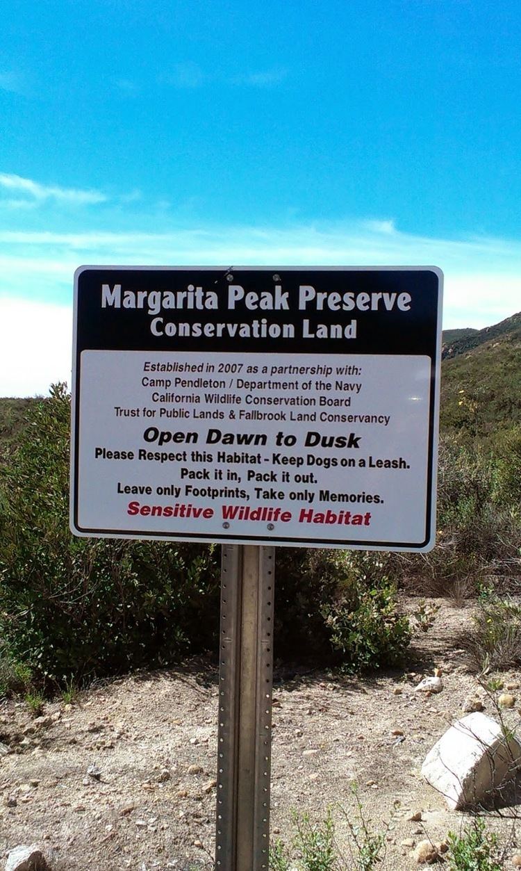
Margarita Peak is a prominent mountain in San Diego County. It is 9 miles (14 km) southwest of Murrieta Hot Springs and 9 miles (14 km) northwest of Fallbrook. Its 3,193-foot (973 m) summit is the 32nd most prominent peak in San Diego County. The trail to the peak is relatively little-used and not known by many people. It is considered one of San Diego's greatest hidden gems, due to the breathtaking 360-degree panorama views at the top. The main trail begins on Margarita Road after the end of Tenaja Road 13 miles (21 km) southwest of I-15 and leads to nearby Margarita Lookout. Persons attempting to reach the peak must use a steep, poorly maintained firebreak that connects to the main trail. The hike to the top is 3 miles (4.8 km) each way.
Contents
Map of Margarita Peak, California 92028, USA
ViewsEdit
On clear days, visibility ranges from 60 to 70 miles (97 to 113 km) in every direction. To the west, the Pacific Ocean, the Coronado Islands of Mexico, the coastline of San Diego County and Long Beach, and the Channel Islands can be seen. To the north, San Gorgonio, Mount Baldy, Santiago Peak, and the San Jacintos are seen. Looking east, Agua Tibia Mountain and the Palomar Mountain range are visible. On very clear days, Santa Rosa Peak and Toro Peak may also be seen. To the south, Cuyamaca Peak can be seen on a very clear day. To the south are San Miguel Mountain in San Diego County, as well as the foreground of Encinitas, San Marcos, and Escondido.
