
Founded January 20, 1869 Time zone PET (UTC-5) Elevation 3,150 m | Region Cusco Capital Marcapata UBIGEO 081209 Area 1,688 km² | |
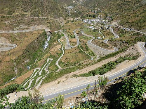 | ||
The Marcapata District is one of the twelve districts in the Quispicanchi Province in Peru. Created on January 20, 1869, its capital is Marcapata.
Contents
Map of Marcapata, Peru
Geography
The Willkanuta mountain range traverses the province. Some of the highest peaks of the district are Chumpi, Hatun Ñañu Punta, Wila Jaqhi and Yayamari. Other mountains are listed below:
Ethnic groups
The people in the district are mainly indigenous citizens of Quechua descent. Quechua is the language which the majority of the population (87.29%) learnt to speak in childhood, 12.33% of the residents started speaking using the Spanish language (2007 Peru Census).
References
Marcapata District Wikipedia(Text) CC BY-SA