
Elevation 910 m (2,990 ft) Local time Tuesday 12:17 AM | Postal code (street) 0450 Area code 013 | |
 | ||
Weather 19°C, Wind S at 6 km/h, 73% Humidity | ||
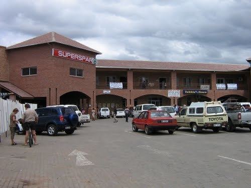
Marble Hall is a town in the south of the Limpopo province of South Africa. It was formerly in Mpumalanga province.
Contents
Map of Marblehall, 0450, South Africa
Marble Hall is a village 26 km north-west of Groblersdal and 96 km south-south-east of Mokopane. Laid out in 1942 and proclaimed a township in January 1945, it owes its development to the Marble Lime Mine. Its name is said to be an adaptation of ‘marble hole’, where fifteen varieties of marble occur.
History
While on a hunting expedition from Pretoria, Christoffel Visagie and his family discovered a hole containing marble in 1920. In 1929 the Marble Lime Company came in to work on the deposits and then, in 1942, a town was developed and known as Marmerhol (Afrikaans for Marble Hole). Soon the town's name was changed to Marble Hall.
References
Marble Hall Wikipedia(Text) CC BY-SA