
 | ||
Marash Peak (Bulgarian: връх Мараш, ‘Vrah Marash’ \'vr&h ma-'rash) is the peak rising to 800 m in the southeast foothills of Detroit Plateau on Nordenskjöld Coast in Graham Land, Antarctica. It is situated in the east part of Grivitsa Ridge, surmounting Darvari Glacier to the north and east, Mundraga Bay to the east, and Zaychar Glacier to the southwest and south.
Contents
Map of Marash Peak, Antarctica
The peak is named after the settlement of Marash in Northeastern Bulgaria.
Location
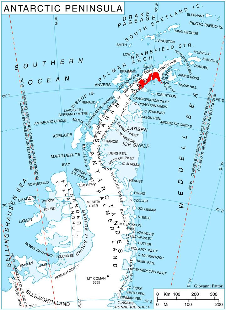
Marash Peak is located at 64°30′33″S 60°18′20″W, which is 2.6 km east-southeast of Batkun Peak, 9.16 km south-southwest of Gusla Peak, 7.69 km north-northwest of Fothergill Point and 4.71 km northeast of Kableshkov Ridge. British mapping in 1978.
Maps
References
Marash Peak Wikipedia(Text) CC BY-SA