
Founded August 29, 1834 Time zone PET (UTC-5) Elevation 3,709 m | Region Cusco Capital Marangani UBIGEO 080604 Area 432.6 km² | |
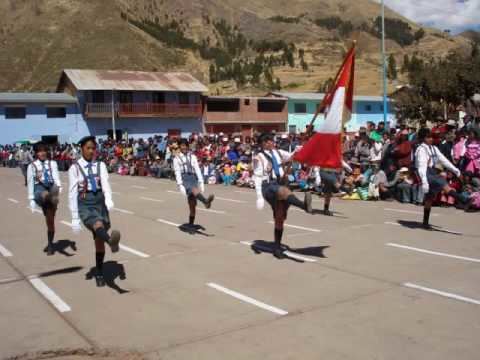 | ||
Marangani District is one of eight districts of the province Canchis in Peru.
Contents
Map of Marangani, Peru
Geography
The La Raya mountain range traverses the district. Some of the highest mountains are listed below:
The most important river of the district is the Willkanuta which crosses the district from southeast to northwest.
Ethnic groups
The people in the district are mainly indigenous citizens of Quechua descent. Quechua is the language which the majority of the population (80.81%) learnt to speak in childhood, 18.82% of the residents started speaking using the Spanish language (2007 Peru Census).
References
Marangani District Wikipedia(Text) CC BY-SA