Intercommunality Artois Area 11.82 km² | Canton Dainville Population (2006) 2,479 Local time Tuesday 1:03 PM | |
 | ||
Weather 11°C, Wind W at 19 km/h, 87% Humidity | ||
Marœuil (or Maroeuil) is a commune in the Pas-de-Calais department in the Hauts-de-France region of France.
Contents
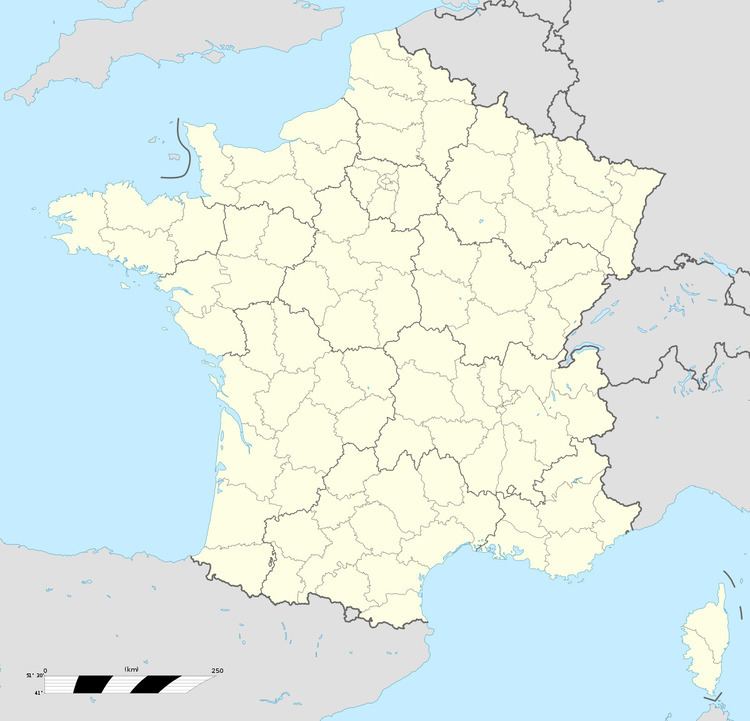
Map of Mar%C5%93uil, France
Geography
Marœuil is a large farming and light industrial village situated 4 miles (6 km) northwest of Arras, at the junction of the D55, D56 and the D60E roads.
History
First recorded as Maraculum around 680, then as Maroel in 1104, Maroeul in 1307 and finally as Marœuil in 1670.
A church was first built here by St.Bertille around the year 697.
Places of interest
Twin towns
References
Marœuil Wikipedia(Text) CC BY-SA
