
Surface area 48 acres (19 ha) Max. depth 18 ft (5.5 m) Mean depth 3.66 m | Basin countries United States Average depth 12 ft (3.7 m) Area 19 ha | |
 | ||
Similar Indian Head Pond, Wampatuck Pond, Oldham Pond, Burrage Pond Wildlife M, Robbins Pond | ||
Maquan pond hanson water search other
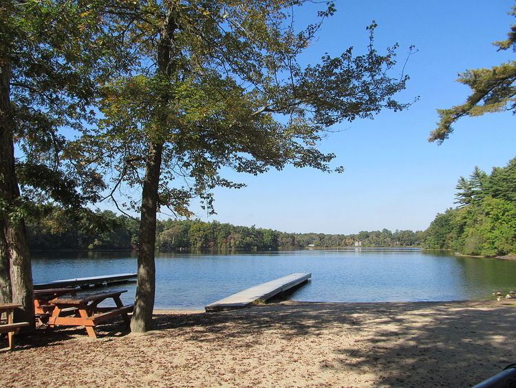
Maquan Pond is a 48-acre (190,000 m2) pond in Hanson, Massachusetts. Its average depth is 12 feet (3.7 m) and its maximum depth is 18 feet (5.5 m). The pond is a tributary to Furnace Pond, a public water supply. There has been much development along the shore. The town right-of-way is on the northern shore of the pond off Maquan Street (Route 14). The water is acidic, so fishing is poor except for pickerel, small yellow perch and pumpkinseeds.
Contents
- Maquan pond hanson water search other
- Map of Maquan Pond Hanson MA 02341 USA
- Maquan pond time lapse
- References
Map of Maquan Pond, Hanson, MA 02341, USA
Camp Kiwanee, a former Camp Fire camp, is located on the eastern shore of the pond.
Maquan pond time lapse
References
Maquan Pond Wikipedia(Text) CC BY-SA