Country United States Time zone Eastern (EST) (UTC-5) Elevation 169 m Population 683 (2010) | ZIP code 04757 Area 7.8 km² | |
 | ||
Mapleton is a census-designated place (CDP) comprising the main village within the town of Mapleton in Aroostook County, Maine, United States. The population of the CDP was 683 at the 2010 census, out of a population of 1,948 for the entire town.
Geography
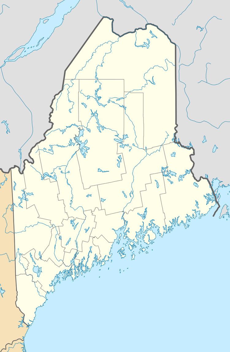
The Mapleton CDP is located in the southwest part of the town of Mapleton, along Maine State Route 163. It is 5 miles (8 km) east to Presque Isle and 14 miles (23 km) west to Ashland.
According to the United States Census Bureau, the CDP has a total area of 3.0 square miles (7.8 km2), all land.
References
Mapleton (CDP), Maine Wikipedia(Text) CC BY-SA
