
Country United States FIPS code 23-43255 Elevation 191 m Population 1,948 (2010) Area code 207 | Time zone Eastern (EST) (UTC-5) GNIS feature ID 0582579 Zip code 04757 Local time Monday 2:33 PM | |
 | ||
Weather 5°C, Wind NE at 11 km/h, 35% Humidity Area 88.94 km² (87.98 km² Land / 96 ha Water) | ||
Mapleton is a town in Aroostook County, Maine, United States. The population was 1,948 at the 2010 census.
Contents
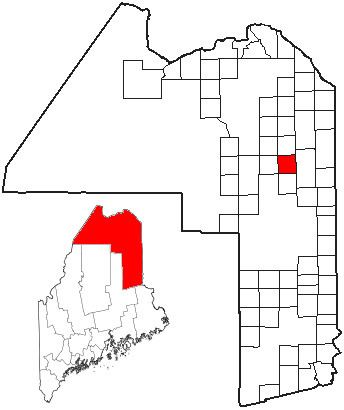
Map of Mapleton, ME, USA
Geography
According to the United States Census Bureau, the town has a total area of 34.34 square miles (88.94 km2), of which 33.97 square miles (87.98 km2) is land and 0.37 square miles (0.96 km2) is water.
2010 census
As of the census of 2010, there were 1,948 people, 816 households, and 578 families residing in the town. The population density was 57.3 inhabitants per square mile (22.1/km2). There were 864 housing units at an average density of 25.4 per square mile (9.8/km2). The racial makeup of the town was 98.0% White, 0.2% African American, 0.9% Native American, 0.3% Asian, and 0.6% from two or more races. Hispanic or Latino of any race were 0.3% of the population.
There were 816 households of which 28.4% had children under the age of 18 living with them, 60.5% were married couples living together, 7.0% had a female householder with no husband present, 3.3% had a male householder with no wife present, and 29.2% were non-families. 22.9% of all households were made up of individuals and 8.8% had someone living alone who was 65 years of age or older. The average household size was 2.38 and the average family size was 2.79.
The median age in the town was 43.5 years. 20.6% of residents were under the age of 18; 6.9% were between the ages of 18 and 24; 24.8% were from 25 to 44; 33.2% were from 45 to 64; and 14.5% were 65 years of age or older. The gender makeup of the town was 50.3% male and 49.7% female.
2000 census
As of the census of 2000, there were 1,889 people, 749 households, and 548 families residing in the town. The population density was 55.5 people per square mile (21.4/km²). There were 787 housing units at an average density of 23.1 per square mile (8.9/km²). The racial makeup of the town was 98.31% White, 1.01% Native American, 0.05% Pacific Islander, 0.32% from other races, and 0.32% from two or more races. Hispanic or Latino of any race were 0.48% of the population.
There were 749 households out of which 32.2% had children under the age of 18 living with them, 65.3% were married couples living together, 4.5% had a female householder with no husband present, and 26.8% were non-families. 20.8% of all households were made up of individuals and 8.8% had someone living alone who was 65 years of age or older. The average household size was 2.52 and the average family size was 2.91.
In the town, the population was spread out with 24.2% under the age of 18, 6.6% from 18 to 24, 31.4% from 25 to 44, 25.5% from 45 to 64, and 12.3% who were 65 years of age or older. The median age was 39 years. For every 100 females there were 104.9 males. For every 100 females age 18 and over, there were 100.7 males.
The median income for a household in the town was $36,188, and the median income for a family was $41,719. Males had a median income of $30,143 versus $22,875 for females. The per capita income for the town was $17,276. About 3.7% of families and 6.2% of the population were below the poverty line, including 6.2% of those under age 18 and 6.2% of those age 65 or over.