
Country Mexico Municipal seat Mapimí Area 7,127 km² Capital Mapimí, Durango | State Durango Website www.mapimi.gob.mx Population 25,137 (2010) | |
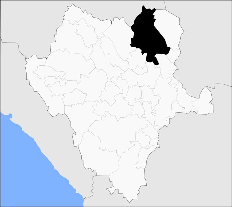 | ||
Mapimí is one of the 39 municipalities of Durango, in north-western Mexico. The municipal seat lies at Mapimí. The municipality covers an area of 7,126.7 km².
Map of Mapim%C3%AD, Durango, Mexico
In 2010, the municipality had a total population of 25,137, up from 22,940 in 2005.
In 2010, the town of Mapimí had a population of 5,623. Other than the town of Mapimí, the municipality had 283 localities, the largest of which (with 2010 populations in parentheses) were: Bermejillo (9,149) and Ceballos (3,730), classified as urban.
Located in the northeastern portion of the state, it borders the municipalities of Lerdo, Gómez Palacio, Tlahualilo, Villa Hidalgo, San Pedro del Gallo, San Luis del Cordero and Nazas.
References
Mapimí Municipality Wikipedia(Text) CC BY-SA