
Development status Active Type Web mapping | Available in English License CC BY-SA | |
 | ||
Initial release April 2014; 2 years ago (2014-04) Operating system | ||
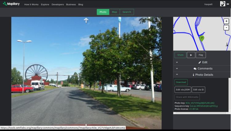
Mapillary is a service for sharing geotagged photos developed by Mapillary AB, located in Malmö, Sweden. Its creators want to represent the whole world (not only streets) with photos using Crowdsourcing.
Contents
Background
The project started in September 2013, with an iPhone app released in November 2013, followed by an Android app released in January 2014.
Mapillary received $1.5 million in seed capital funding from a group of investors, led by Sequoia Capital in January 2015.
Features
Mapillary offers different capturing modes including walking, riding (either a bike or car), or panorama. On 10 September 2014, Mapillary announced that they now support panoramas and photo spheres.
As of May 2014, Mapillary had around 0.5 million photos and by December 2014, it had over 5.5 million. As of March 2015 it had 10 million photos, and by June 11, 2015 Mapillary had over 20 million photos, and by August 9 over 30 million. As of February 6, 2016 Mapillary had over 50 million photos. There is a live counter on the homepage of their website.
Mapillary hit 100 million photos on November 15, 2016.
Mapillary images, millions
License
The images on Mapillary can be used under Creative Commons Attribution-ShareAlike 4.0 International License (CC-BY-SA). There is special permission to derive data from the photos for contributing to OpenStreetMap and Wikimedia Commons. The GPX tracks can be used without restriction, and derived data can be used provided it is ODbL.
The license was changed on 29 April 2014 from CC-BY-NC to CC-BY-SA.
Mapillary eventually plans to generate revenue by licensing the data its users generate to companies.