
Elevation 2,205 m | ||
 | ||
Similar Chilbosan, Kuwolsan, Myohyangsan | ||
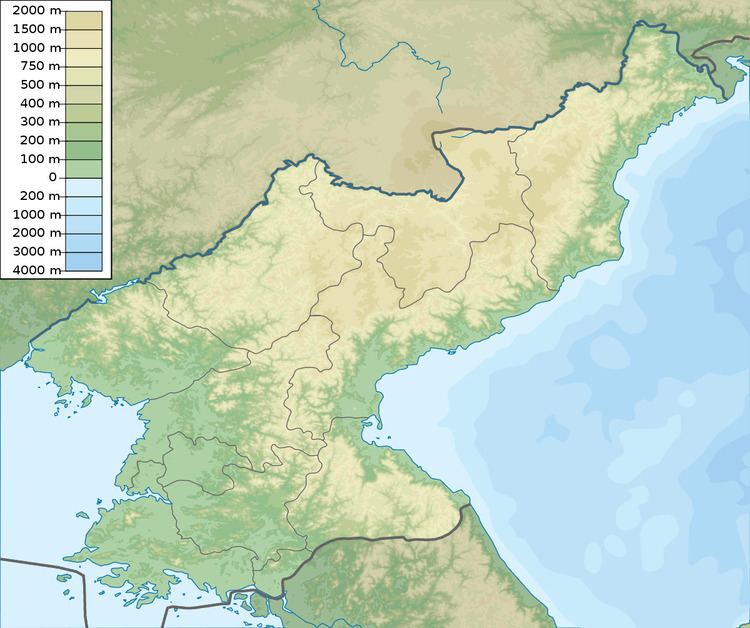
Mantapsan (or Mount Mant'ap, Chosŏn'gŭl: 만탑산) is a mountain in the south of North Hamgyong Province in North Korea. The granite peak with an elevation of 2,205 m (7,234 ft) is part of the Hamgyong Mountains. It is located on the border between Kilju County, Myŏnggan County and Orang County.
Map of Mantapsan
Political prisoners were reportedly forced to dig tunnels into the southern side of the mountain, at the nuclear test site near P'unggye-ri. The horizontal tunnels are believed to be two to three meters wide and high and hundreds of meters long. This is where the detonations of the North Korean nuclear tests 2006, 2009, 2013 and 2016 occurred.
Hwasong concentration camp, with 549 km2 (212 sq mi) the largest North Korean concentration camp, is located between Mantapsan and Myŏnggan (Hwasŏng).