
Population 140 Sovereign state United Kingdom Local time Monday 11:51 AM | OS grid reference ST815155 | |
 | ||
Weather 11°C, Wind SW at 39 km/h, 86% Humidity | ||
Manston is a small village and civil parish in the county of Dorset in southern England, lying next to the River Stour in the Blackmore Vale in the North Dorset administrative district, 2 miles (3.2 km) east of the town of Sturminster Newton. The geology of the parish consists mostly of Kimmeridge clay, with a thin strip of Corallian limestone in the west.
Map of Manston, UK
In 1086 in the Domesday Book Manston was recorded as Manestone; it had 19 households, 8 ploughlands, 25 acres (10 ha) of meadow and 2 mills. It was in the hundred of Gillingham and tenant-in-chief was Waleran the hunter.
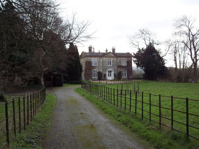
The parish church of St Nicholas has a 13th-century chancel, 14th-century nave and 15th-century west tower. The first legal cremation in Britain took place at Manston House in 1883,carried out by Captain Thomas Hanham. In 2013 the estimated population of the parish was 140.