 | ||
Blast in al mansour district aftermath thursday attacks
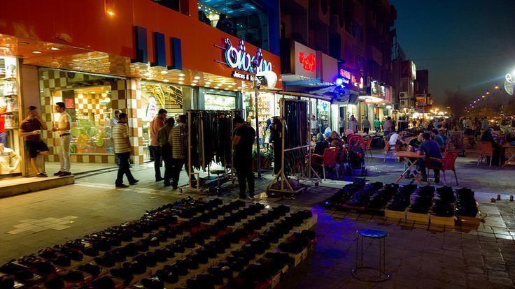
Al Mansour district (Arabic: المنصور، بغداد) is one of the nine administrative districts in Baghdad, Iraq. It is in western Baghdad and is bounded on the east by Karkh district in central Baghdad, to the north by Kadhimiya, to the west by Baghdad International Airport, and to the south by Baghdad Airport Road, on the other side of which is Al Rashid district. Al Mansour is named after Abu Ja'far al-Mansur, the second Abbasid Caliph and founder of Baghdad. As of 2015, Mansour district is one of the most heavily Sunni populated districts of Baghdad mostly due to an influx of internally displaced people from the overwhelmingly Sunni populated Anbar province due to the Iraqi Civil War.
Contents
- Blast in al mansour district aftermath thursday attacks
- Map of Mansour Iraq
- Two dead after bomb at petrol station roadside bomb in mansour district
- Neighborhoods
- References
Map of Mansour, Iraq
Two dead after bomb at petrol station roadside bomb in mansour district
Neighborhoods
References
Mansour district Wikipedia(Text) CC BY-SA
