
Elevation 450 m (1,480 ft) Area 8.62 km² Postal code 83030 Patron saint San Marco Evangelista | Frazioni San Barbato Demonym(s) Manocalzatesi Local time Monday 10:25 AM Dialling code 0825 | |
 | ||
Weather 14°C, Wind SW at 10 km/h, 76% Humidity | ||
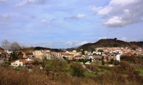
Manocalzati is a town and comune in the province of Avellino, Campania, Southern Italy. The area produces chestnuts, nuts and grapes. In 2005, the population was 3,156. Its elevation is 450 metres (1,480 ft) above sea level.
Contents
Map of 83030 Manocalzati Province of Avellino, Italy
History
Traces from the Iron Age indicate this town existed in the 8th century BC.
Manocalzati was a fiefdom of the San Barbato family. The town retains its medieval charm, with narrow streets and lovely palaces with decorated portals of the 18th and 19th centuries. There are two well preserved churches from the 18th century; Saint Michael (belltower built in the 16th century) and Saint Anna. The town's patron saint is Saint Mark the Evangelist.
Within Manocalzati is San Barbato, a small hamlet overlooking the Serinese valley. Its medieval architecture is composed of houses surrounding a medieval castle.