
Canton Goderville Area 8.75 km² | Region Normandy Intercommunality Campagne de Caux Local time Monday 9:15 AM | |
 | ||
Weather 10°C, Wind S at 21 km/h, 77% Humidity | ||
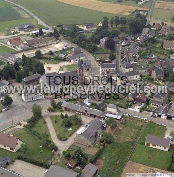
Manneville-la-Goupil is a commune in the Seine-Maritime department in the Haute-Normandie region in northern France.
Contents
Map of 76110 Manneville-la-Goupil, France
Geography
A farming village in the Pays de Caux situated some 12 miles (19 km) northeast of Le Havre, at the junction of the D10 and D52 roads.
Places of interest
References
Manneville-la-Goupil Wikipedia(Text) CC BY-SA