
District Puducherry PIN 605 501 Local time Monday 1:25 PM Area code 0413 | State Puducherry Time zone IST (UTC+5:30) Telephone code 0413 Population 25,473 (2001) | |
 | ||
Weather 35°C, Wind SE at 14 km/h, 53% Humidity | ||
Mannadipattu (Tamil: மண்ணாடிப்பட்டு) is a Village, Commune and Assembly Constituency in the Union Territory of Puducherry, India. It consists of 3 enclaves out of the 11 enclaves of Puducherry. Also, Sellipattu, located on the main enclave, is a part of Mannadipattu Commune. Mannadipattu, along with Nettapakkam Commune, forms the western border to the Union Territory.
Contents
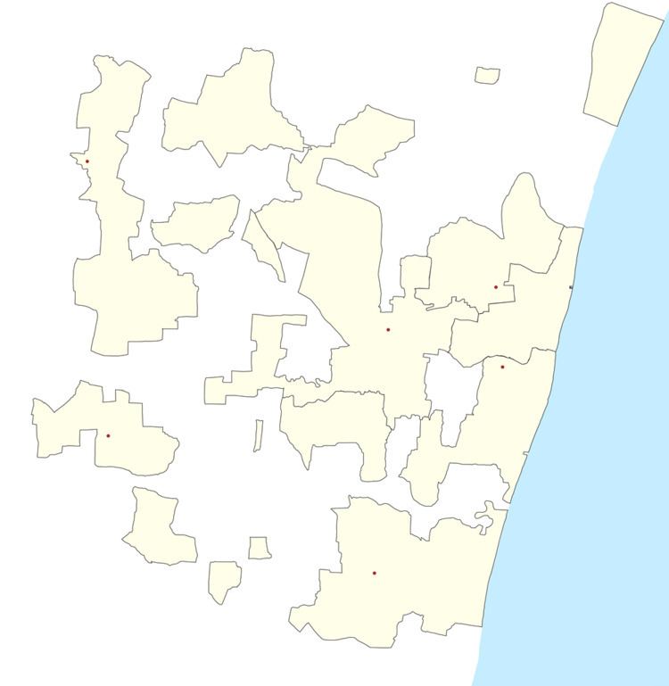
- Map of Mannadipet Puducherry 605501
- History
- Demographics
- Geography
- Road Network
- Chandrasekharar Temple Thiruvakkarai
- National Fossil Park Thiruvakkarai
- References
Map of Mannadipet, Puducherry 605501
History
Suttukeni had been active in trade with Rome via Arikamedu Port in 2nd century BCE. It is located 7 km from Mannadipattu.
Demographics
As of 2001 India census, Mannadipattu had a population of 25,473. Males constitute 50% of the population and females 50%. Bahour has an average literacy rate of 81.49%, male literacy is 88.89%, and female literacy is 74.13%. In Bahour, 10% of the population is under 6 years of age.
Geography
Mannadipattu is 24 km from Puducherry city. It is connected with Puducherry by Puducherry-Thirukkanur (via Mannadipattu) Bus Route.
Road Network
Two RC Roads passes through Mannadipattu. They are
In fact, Frontier road ends at Mannadipattu.
Chandrasekharar Temple, Thiruvakkarai
Chandrasekharar Temple, Thiruvakkarai is located at 5 km from Mannadipattu. This temple is praised by Saint Sambandar in Thevaraam.
National Fossil Park, Thiruvakkarai
National Fossil Park, Thiruvakkarai is the first fossil park in India. It is maintained by the Geological Survey of India. The wood fossils are spread over 247 acres in nine separate enclaves around Thiruvakkarai.